
Thirlmere
Thirlmere is one of the less busy areas of the Lake District, usually a view seen from the car as you travel between the tourist centres of Keswick and Ambleside, but the lake provides some stunning views and if you get there at the right time you may see low level flypasts of military aircraft.
Thirlmere, just south of Keswick, in the Lake District, is a 3.5-mile-long, 158-foot-deep reservoir that was formed in 1894 by damning two smaller lakes and drowning two villages in the process – Armboth and Wythburn, to supply water to Manchester. It is still owned and maintained by United Utilities. The road over the dam at the northern end of the lake has been closed to vehicles but is still accessible by foot or bicycle. The lake is bordered by the Helvellyn range to the east and High Seat and Blueberry Fell to the west and offers a variety of scenic, wooded shoreline walks.
There is plenty of parking along the A591, from large lay-bys to dedicated car parks like those at Swirls, with spaces for around 80 vehicles, and Legburthwaite.
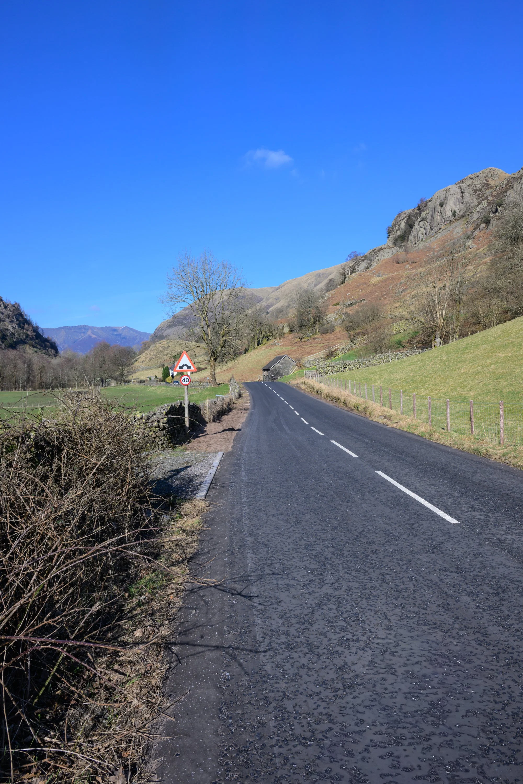
I started out from the roadside lay-by on the A591 near Legburthwaite and directly opposite the old access road to the dam.
From the lay-by, cross the A591 and follow the road past the farm and caravan park towards the dam. I decided to walk across to the dam for the views but at the time I visited the reservoir was choppy and clouded over even though most of the area was in bright sunshine.
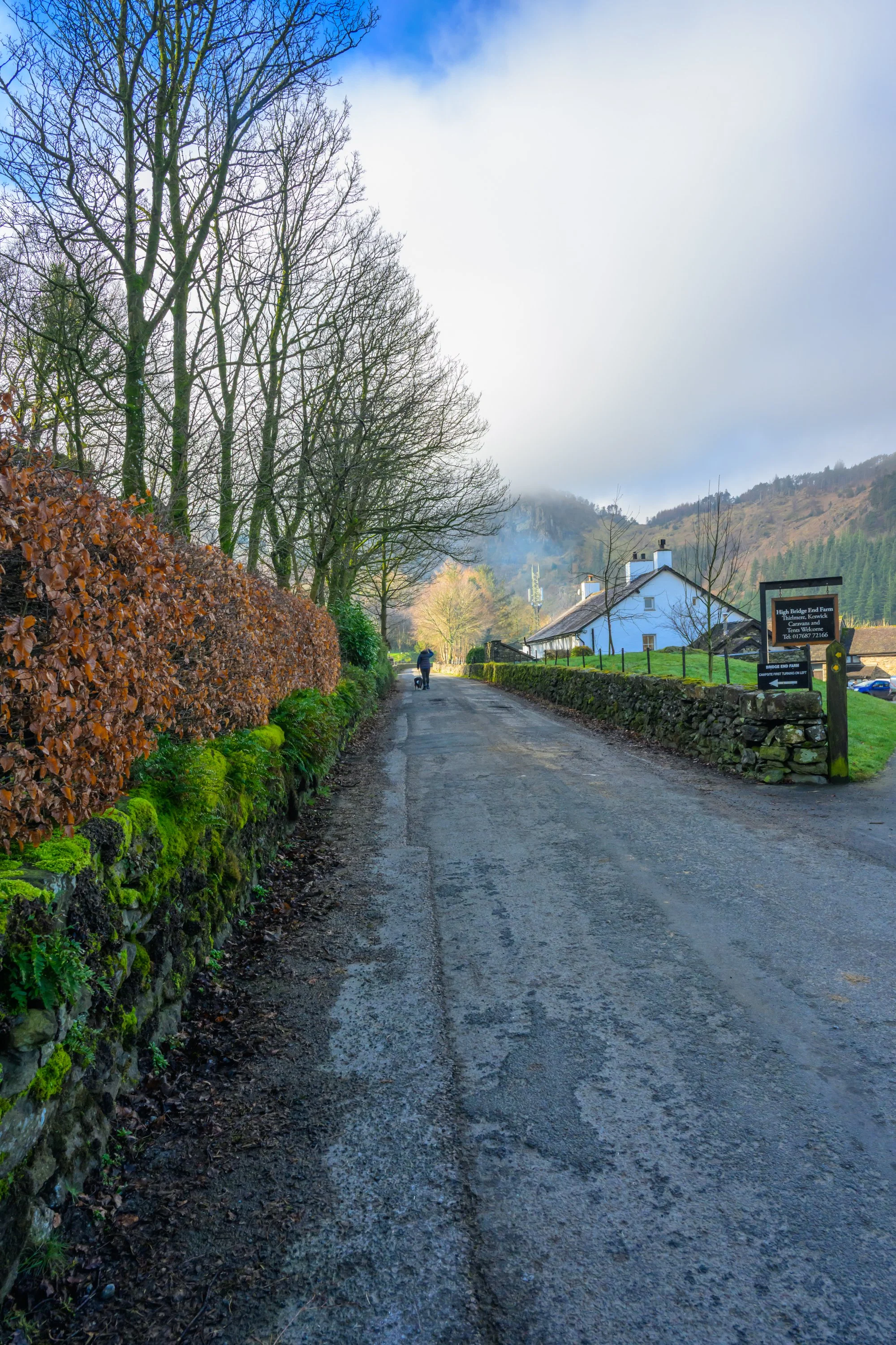
The old dam road leading towards the reservoir
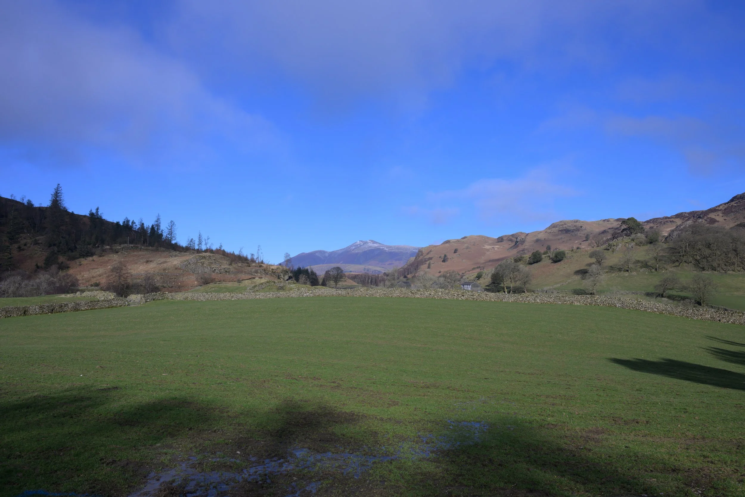
Looking across to Skiddaw in the distance
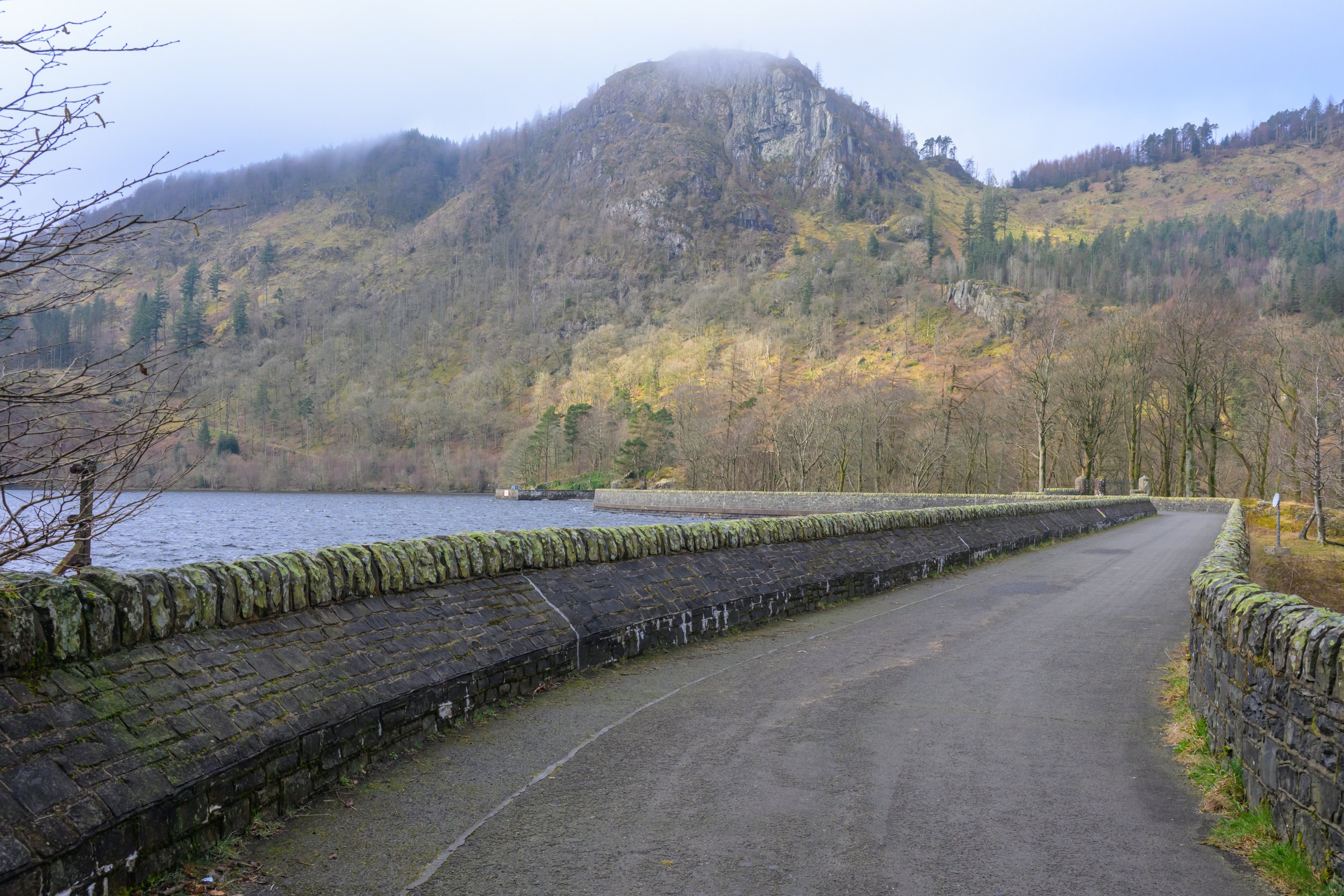
The dam with the reservoir covered in low cloud - hard to believe this was taken within a few hundred metres and a few minutes of the photo shown above
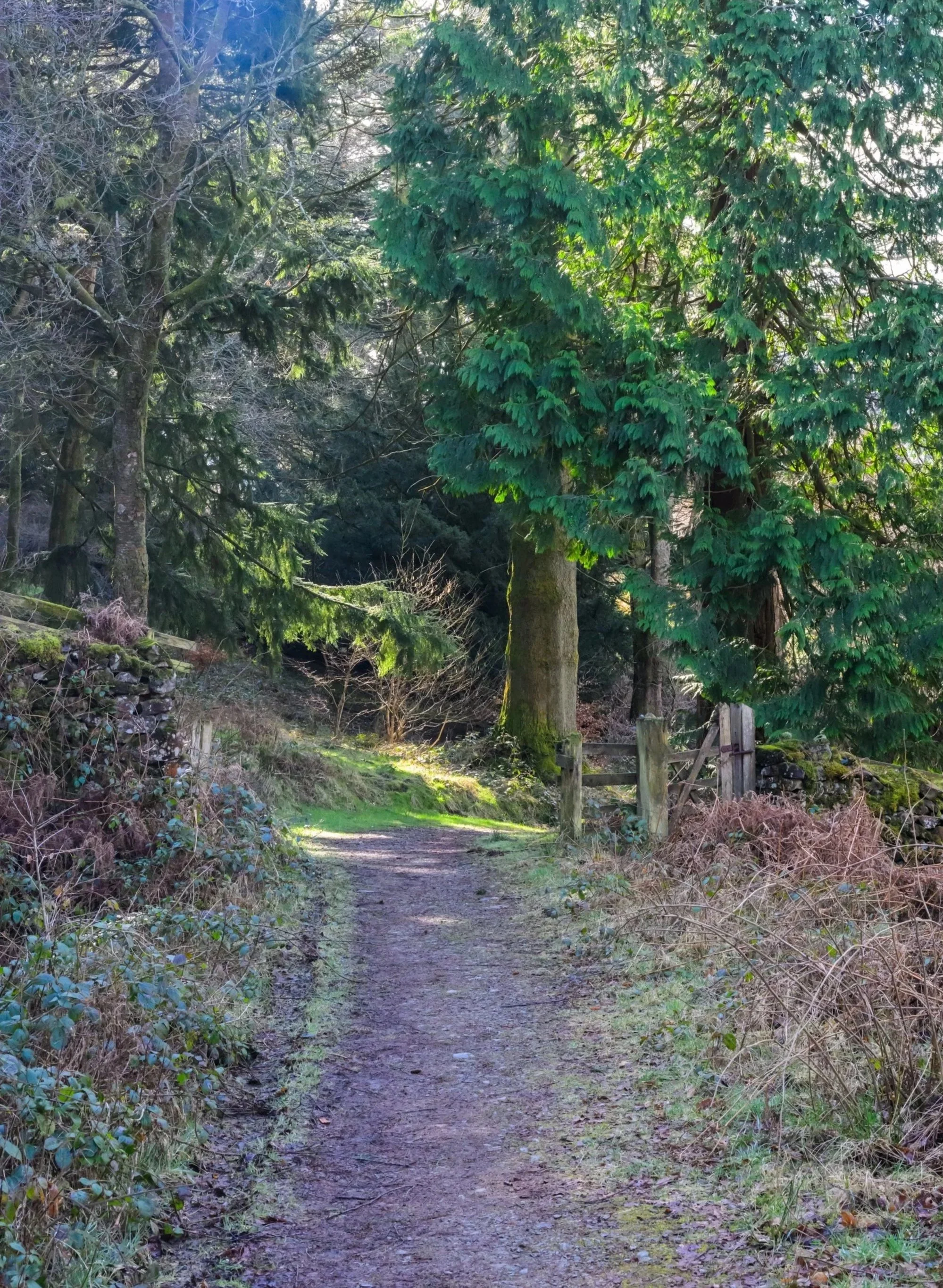
Retrace your steps back from the dam until you reach the road barrier and you will see a United Utilities permitted path up into Greathow Wood. Head up the steps and follow the path into the woods.

The steps take you up to the United Utilities permitted path through Greathow Woods
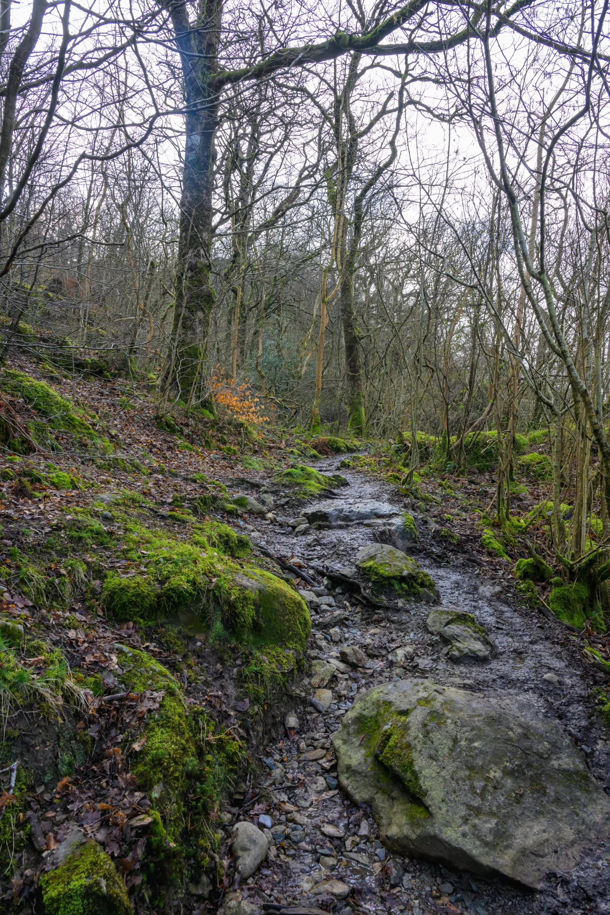
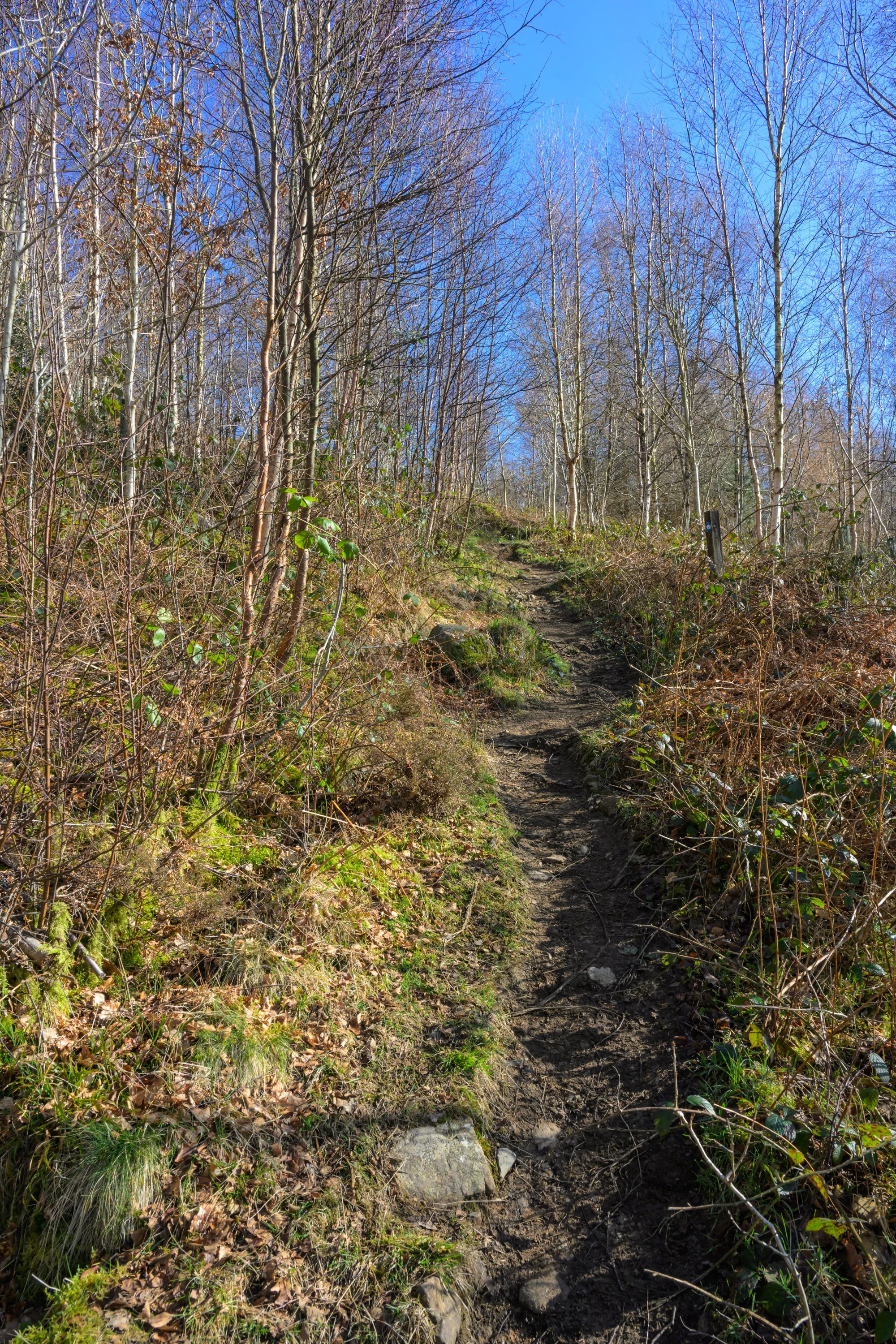
Follow the path into the woods…
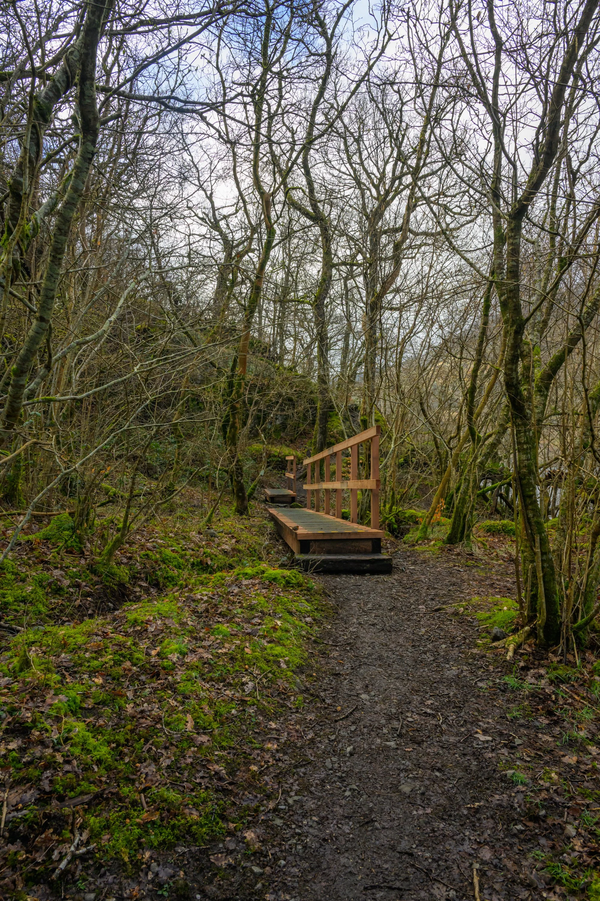
and across the wooden footbridge
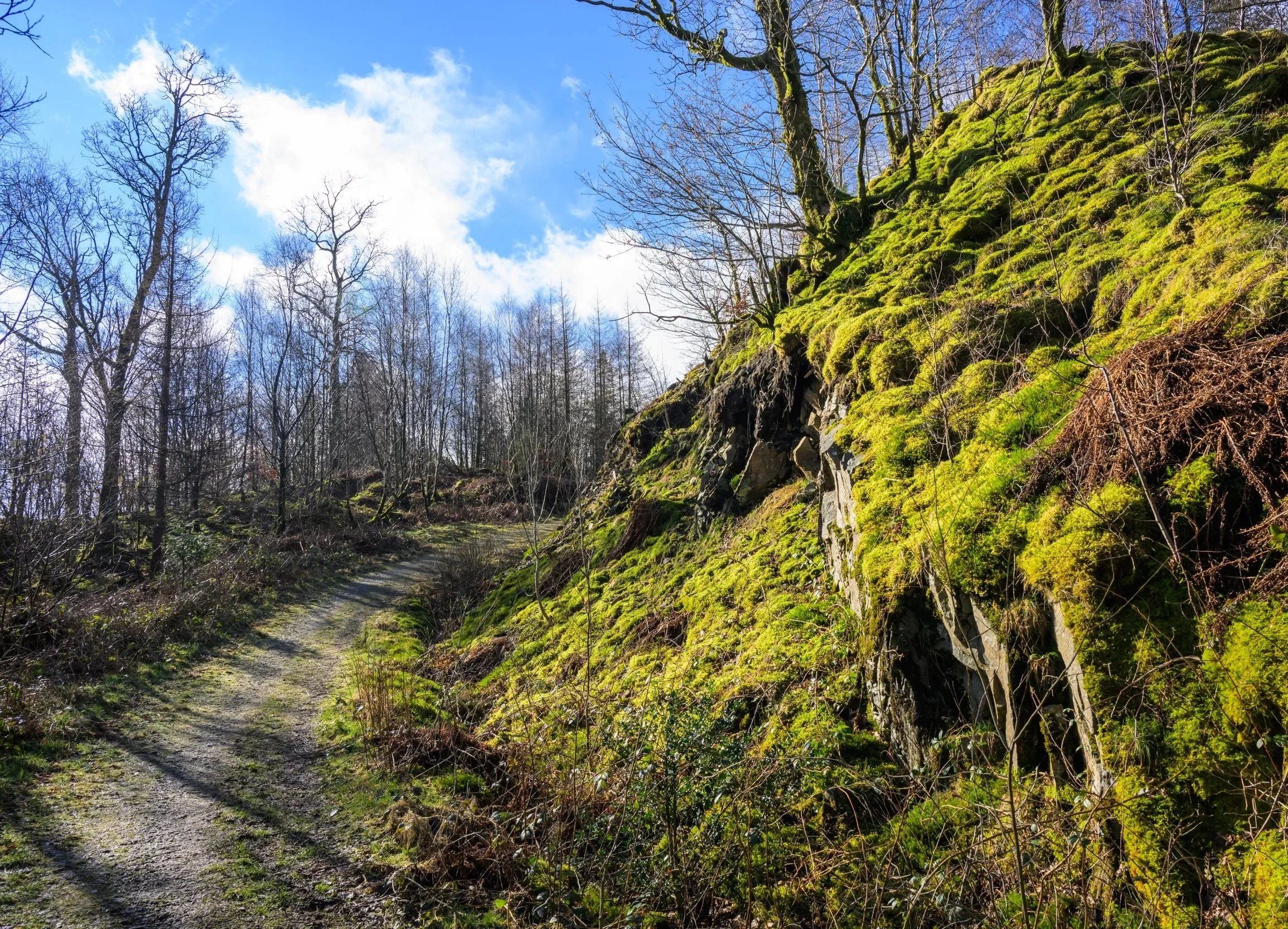
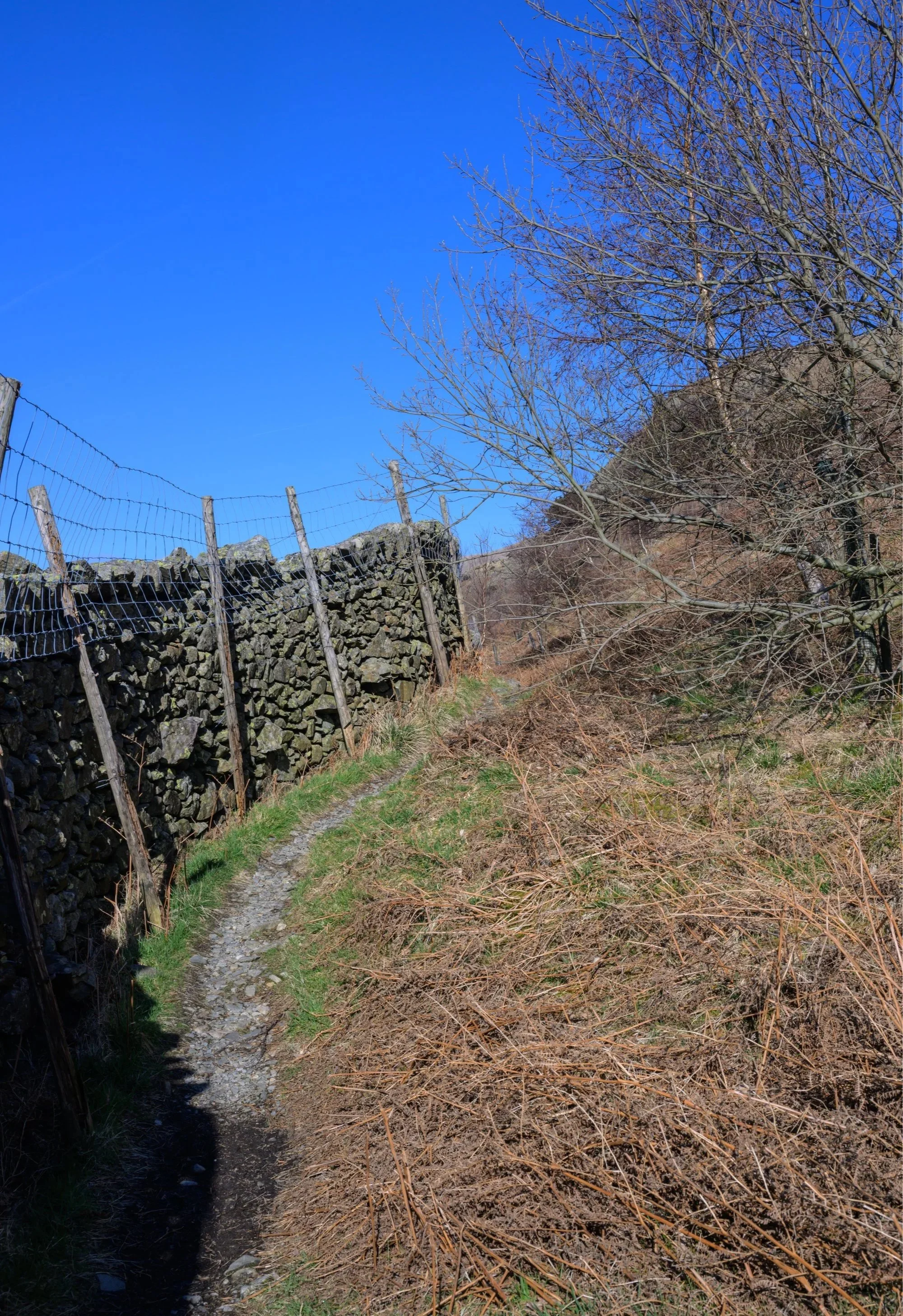
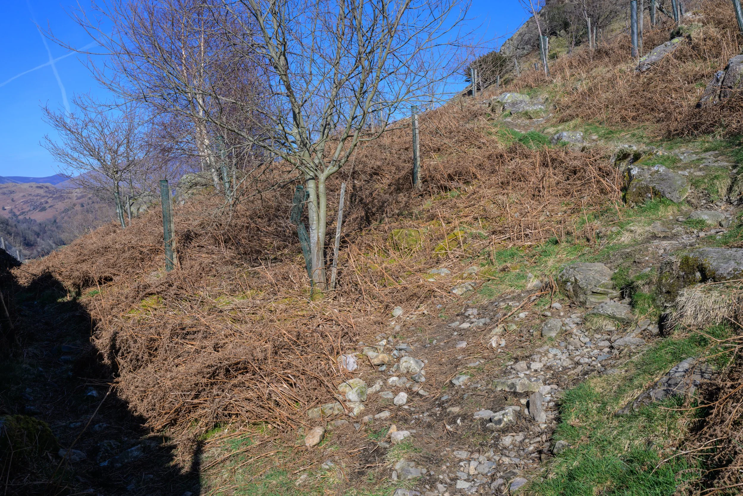
The path leads you along the shore of the reservoir but views down to the water are hidden by the trees, especially during spring and summer when foliage is likely to be dense. Eventually though you come across a number of areas where you can get views across the lake.
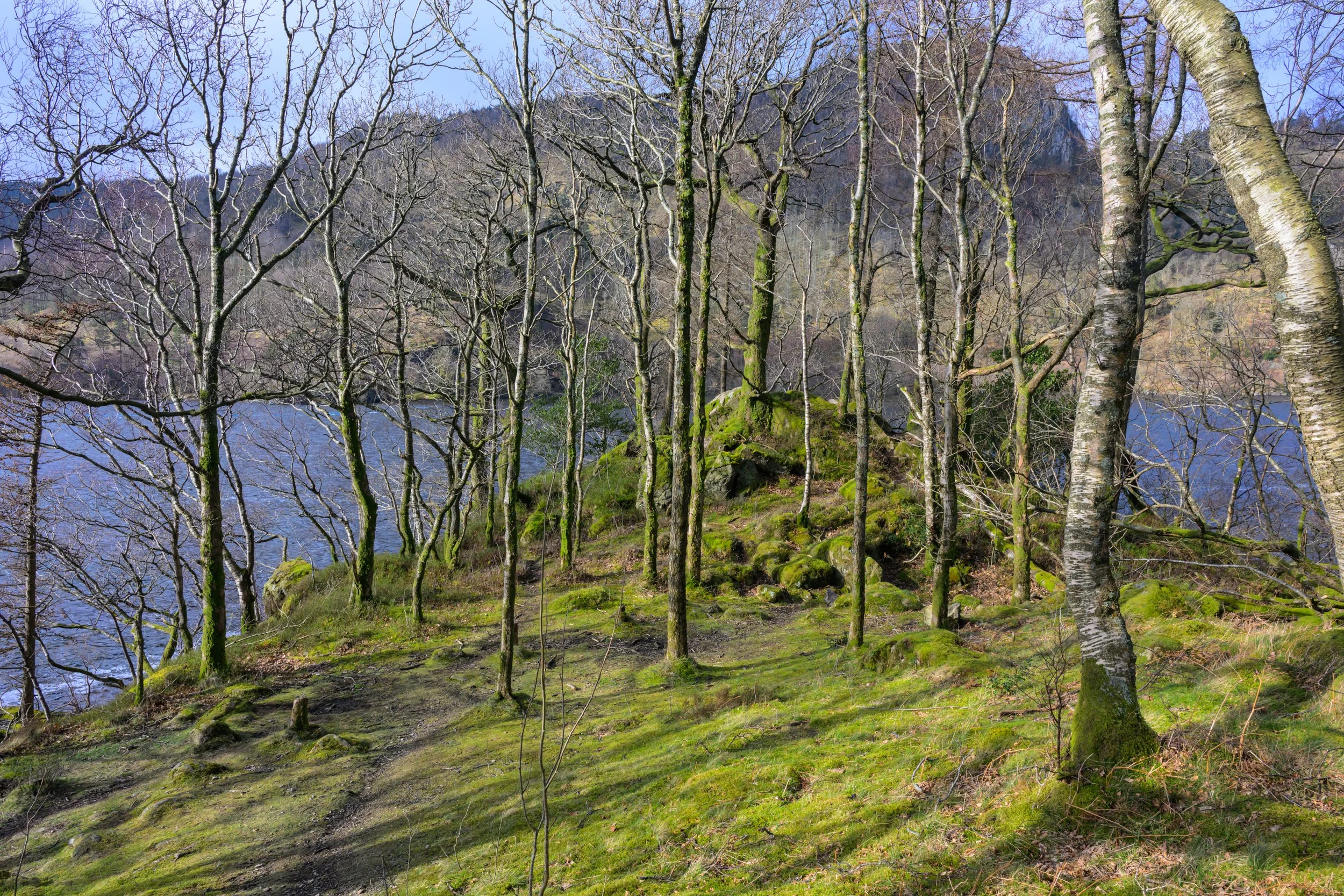
The path opens to provide views of the lake
Looking back towards the dam as the cloud starts to disperse
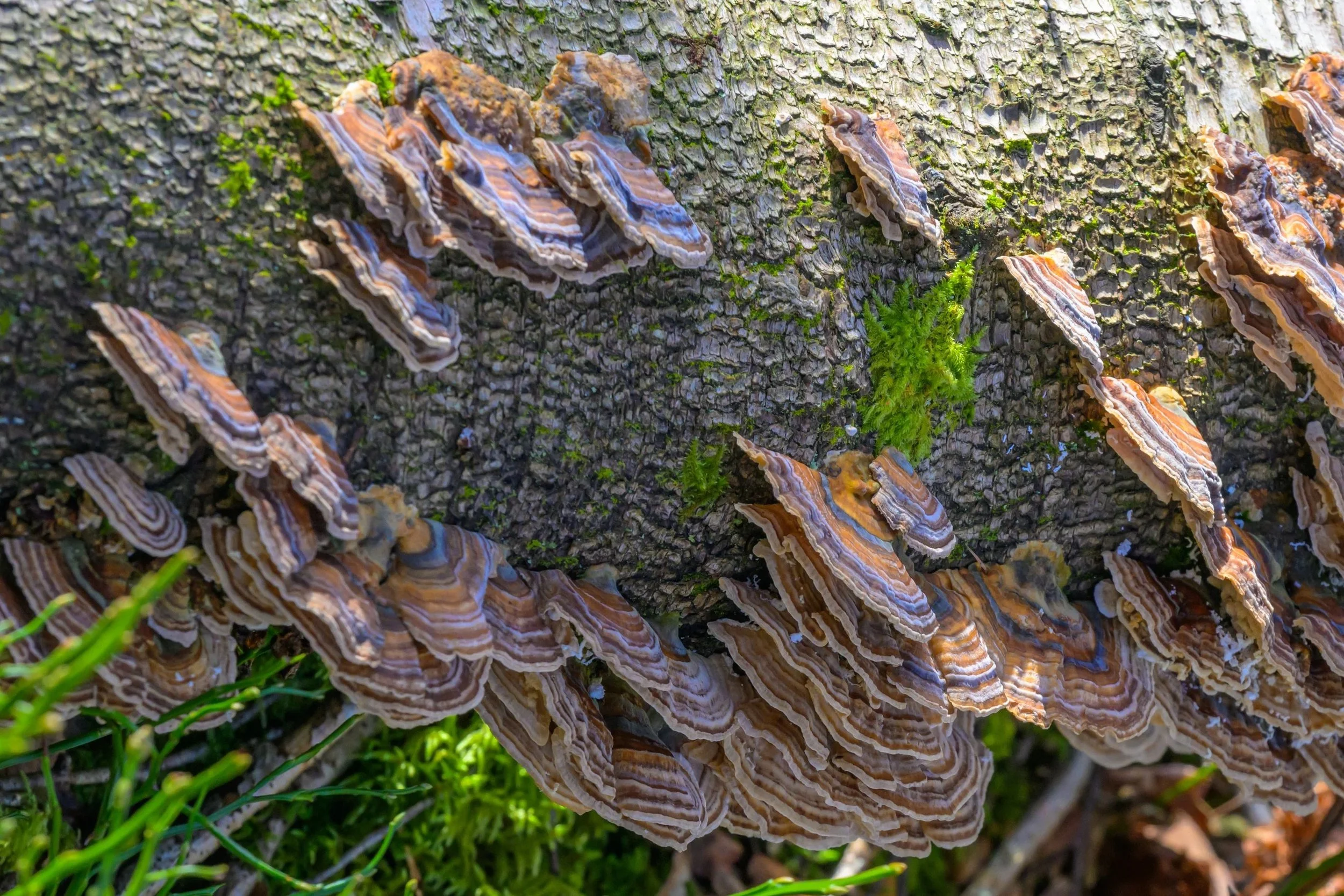
Sometimes the small details are often overlooked, like the stunning colours of this Turkeytail bracket fungus (rametes versicolor)
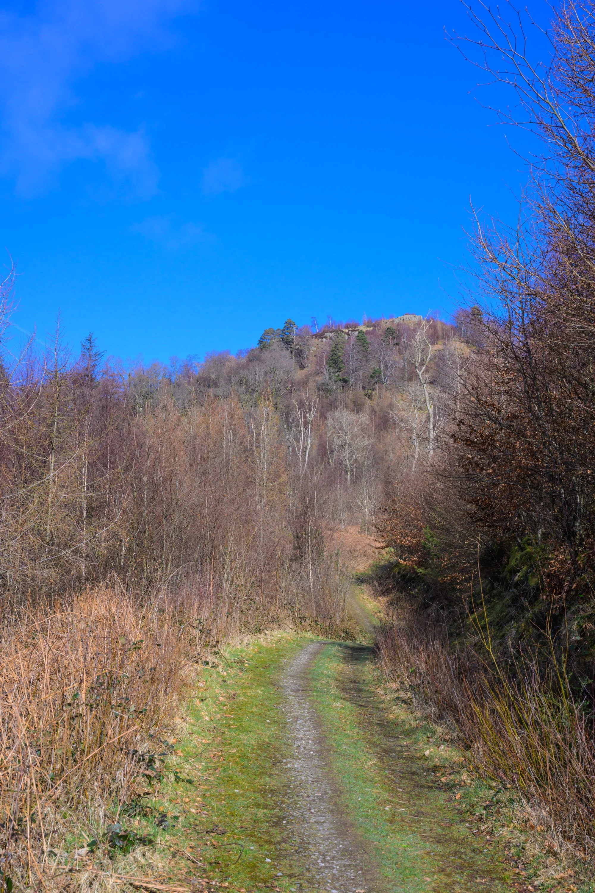
Follow the path as it climbs up towards the summit of Great How
. . . and turn right when it meets the more established path down towards the lake.
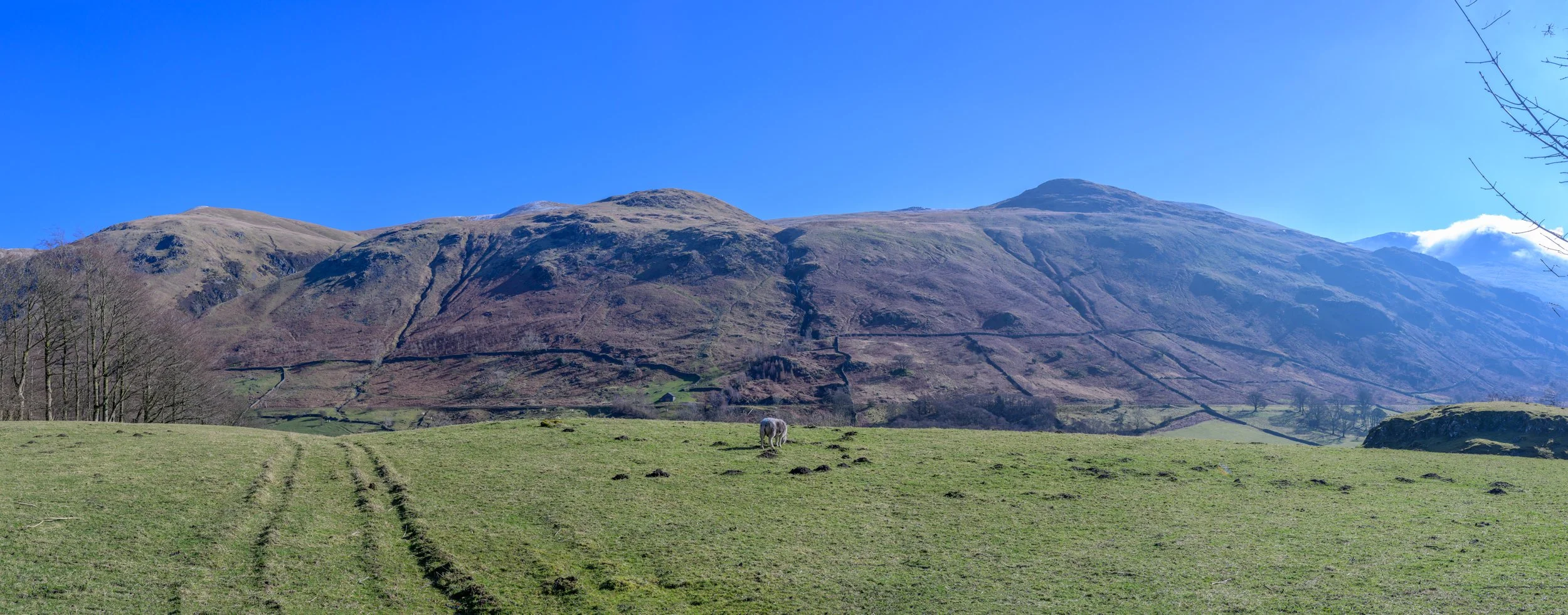
Views from Great How looking across to the Helvellyn range
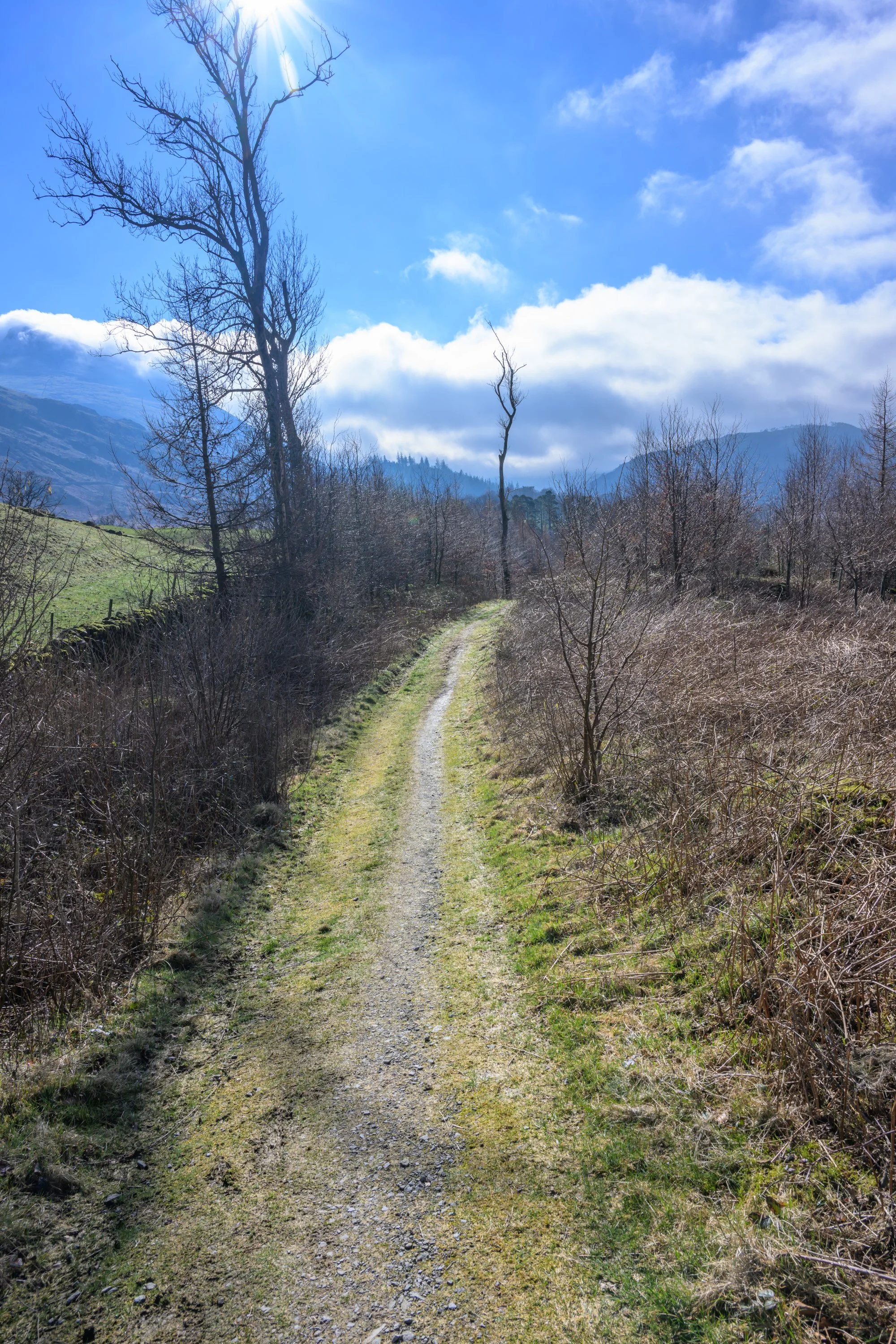
The path continues down towards the lake
Follow the path down and through the gate

Take the right hand fork down to the lake shore
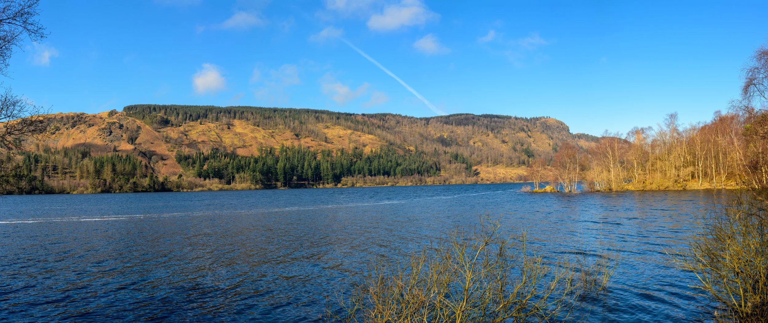
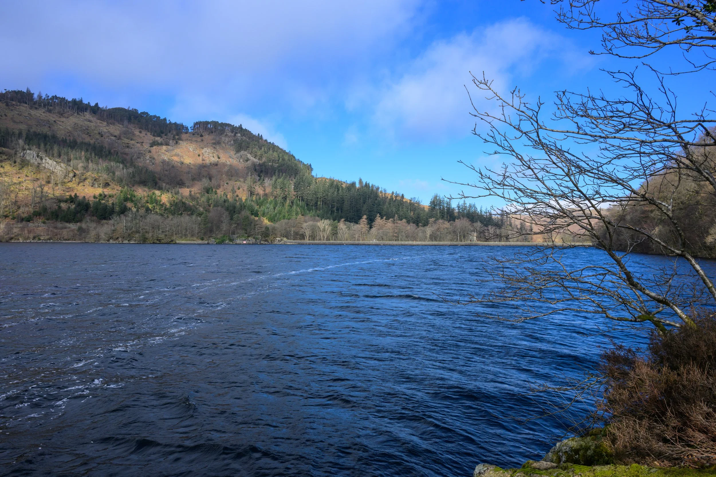
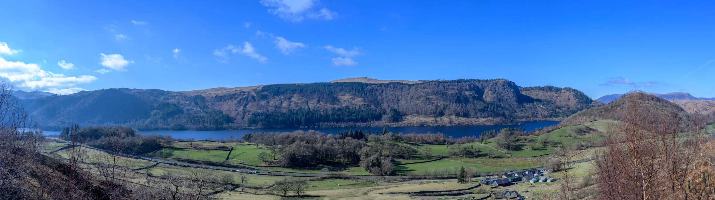
We eventually reach the lake shore and get panoramic views across the lake.
As you reach Highpark Wood the path turns upwards and follows Helvellyn Gill
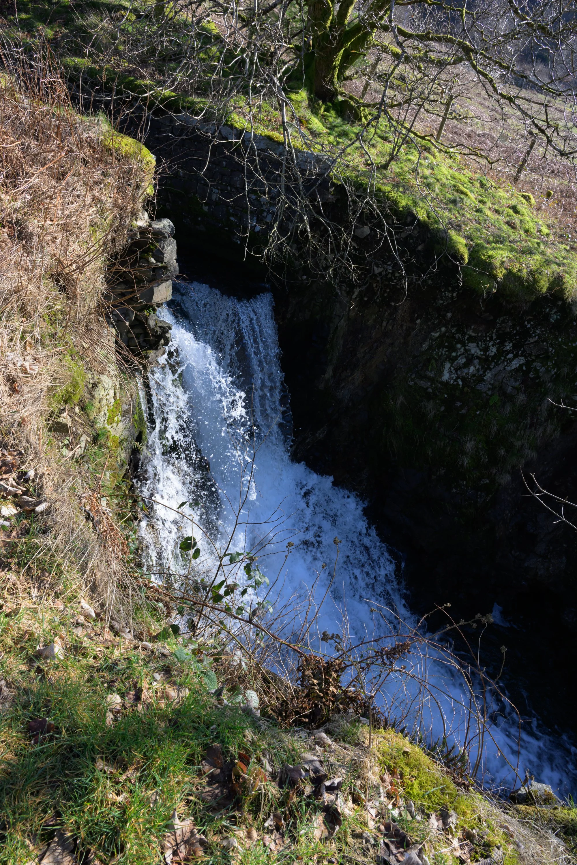
Waterfall on Helvellyn Gill
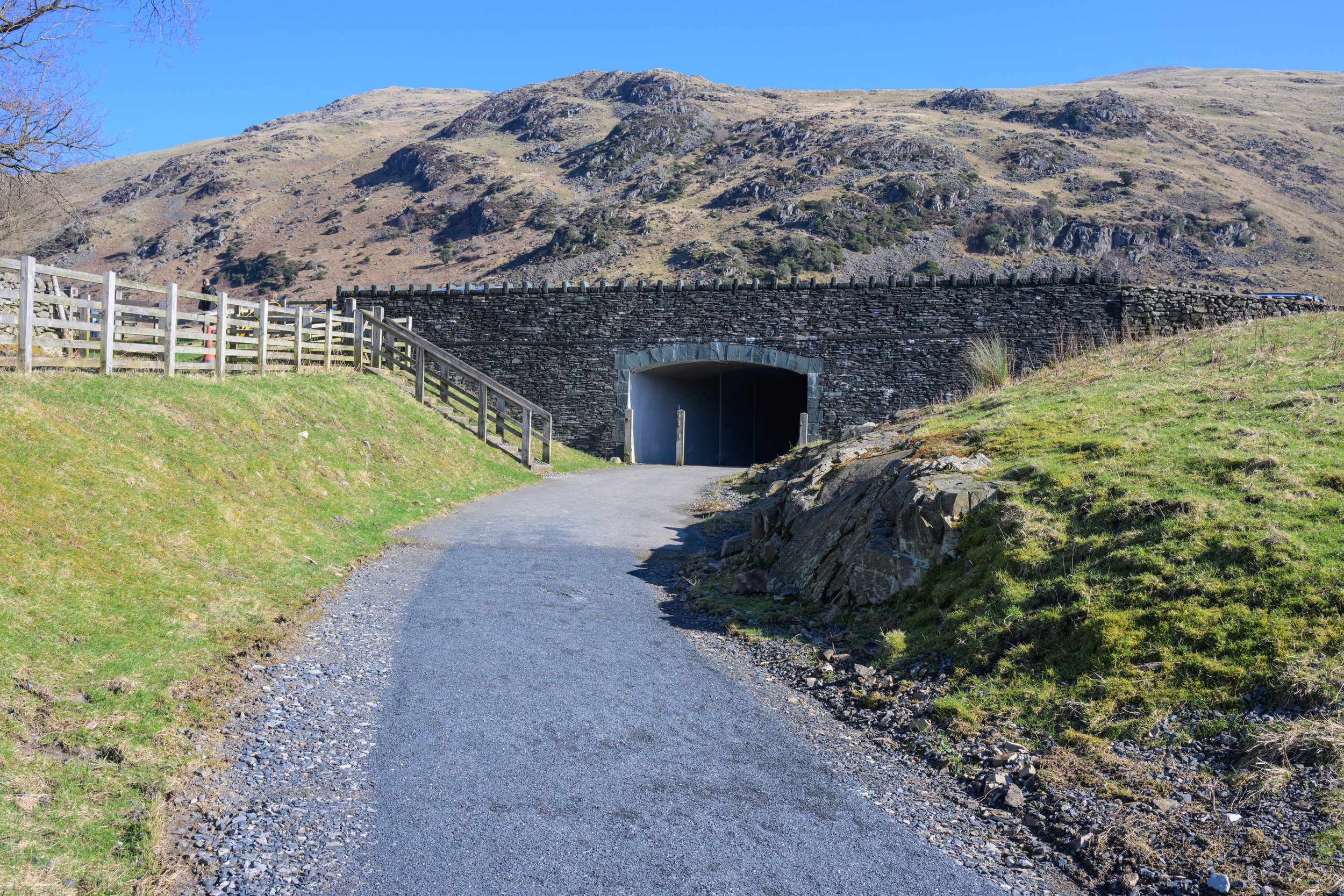
Follow the path through the new A591 underpass . . .
Pass through Swirls car park and head across the footbridge over Helvellyn Gill
Follow the path through the gate and continue along the side of Helvellyn Gill
Waterfall on Helvellyn Gill
and head towards Helvellyn Lower Man
and follow the path up along the left of the gill and through the gate
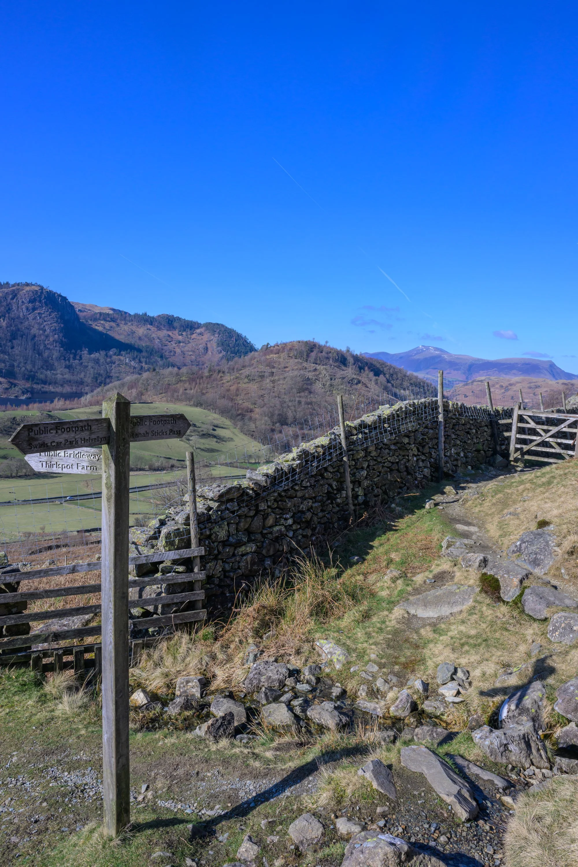
After a short distance you will reach a signpost - follow the left hand path across the side of the hill towards Stanah (the right hand pass climbs to Helvellyn)
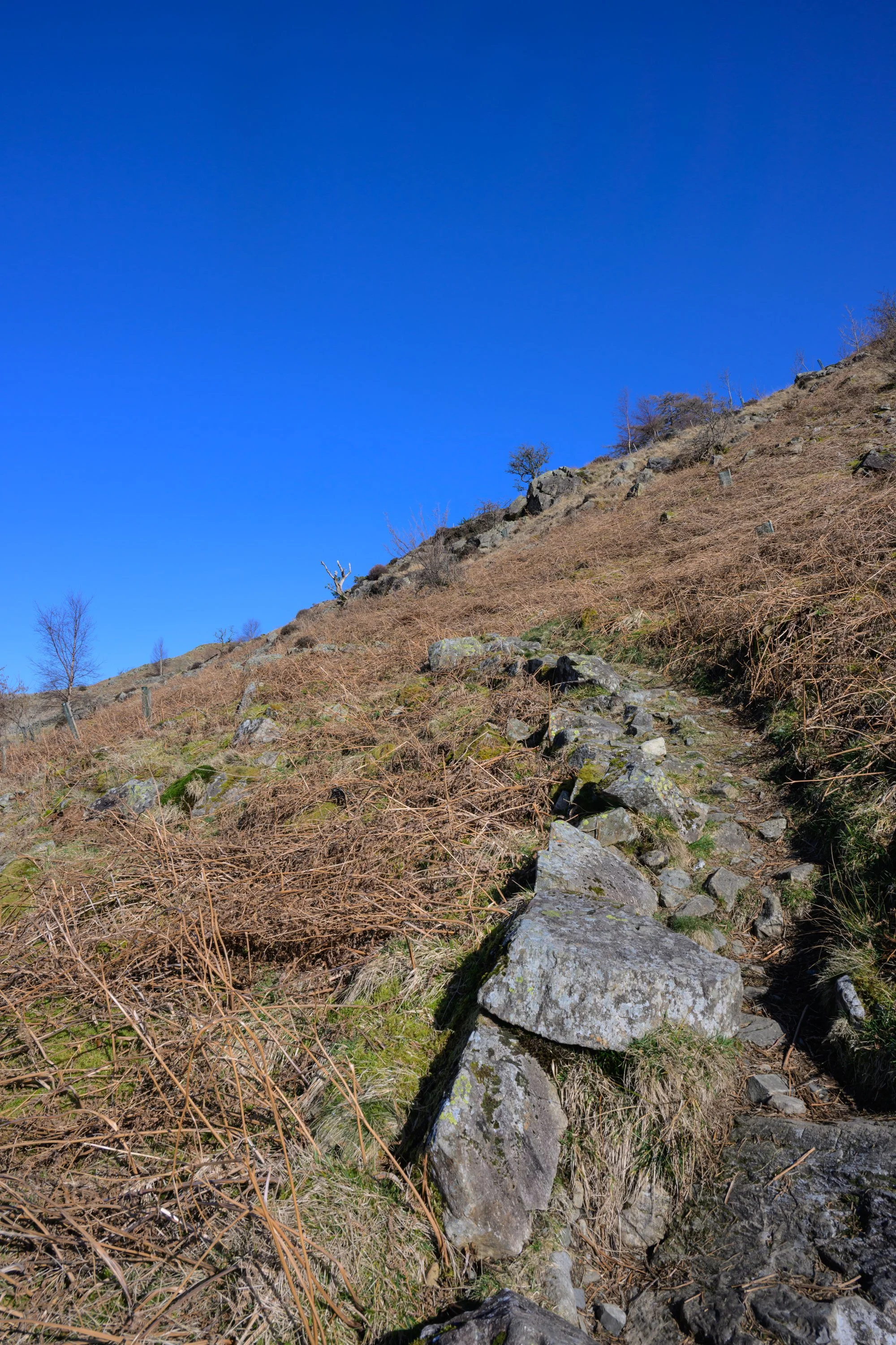
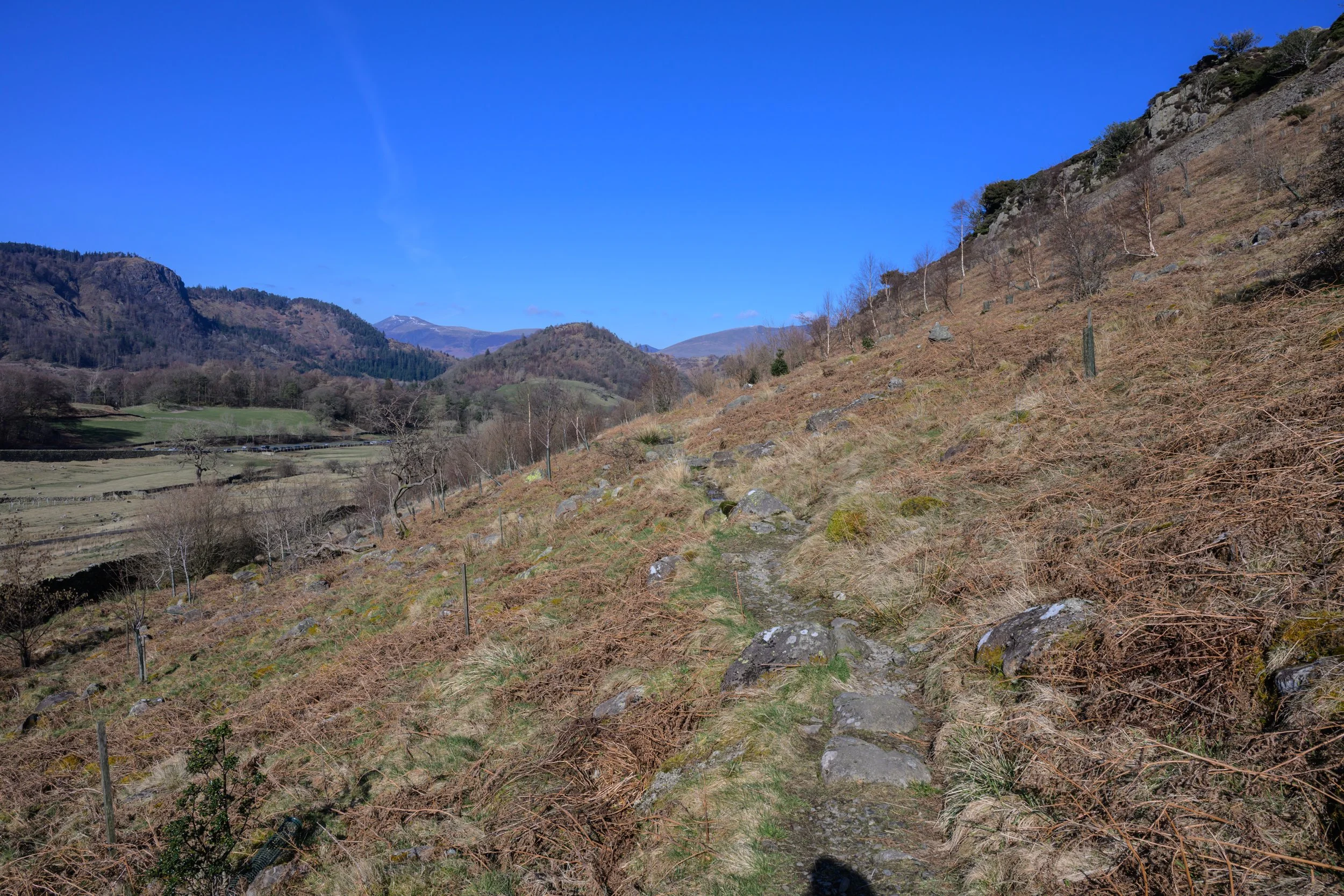
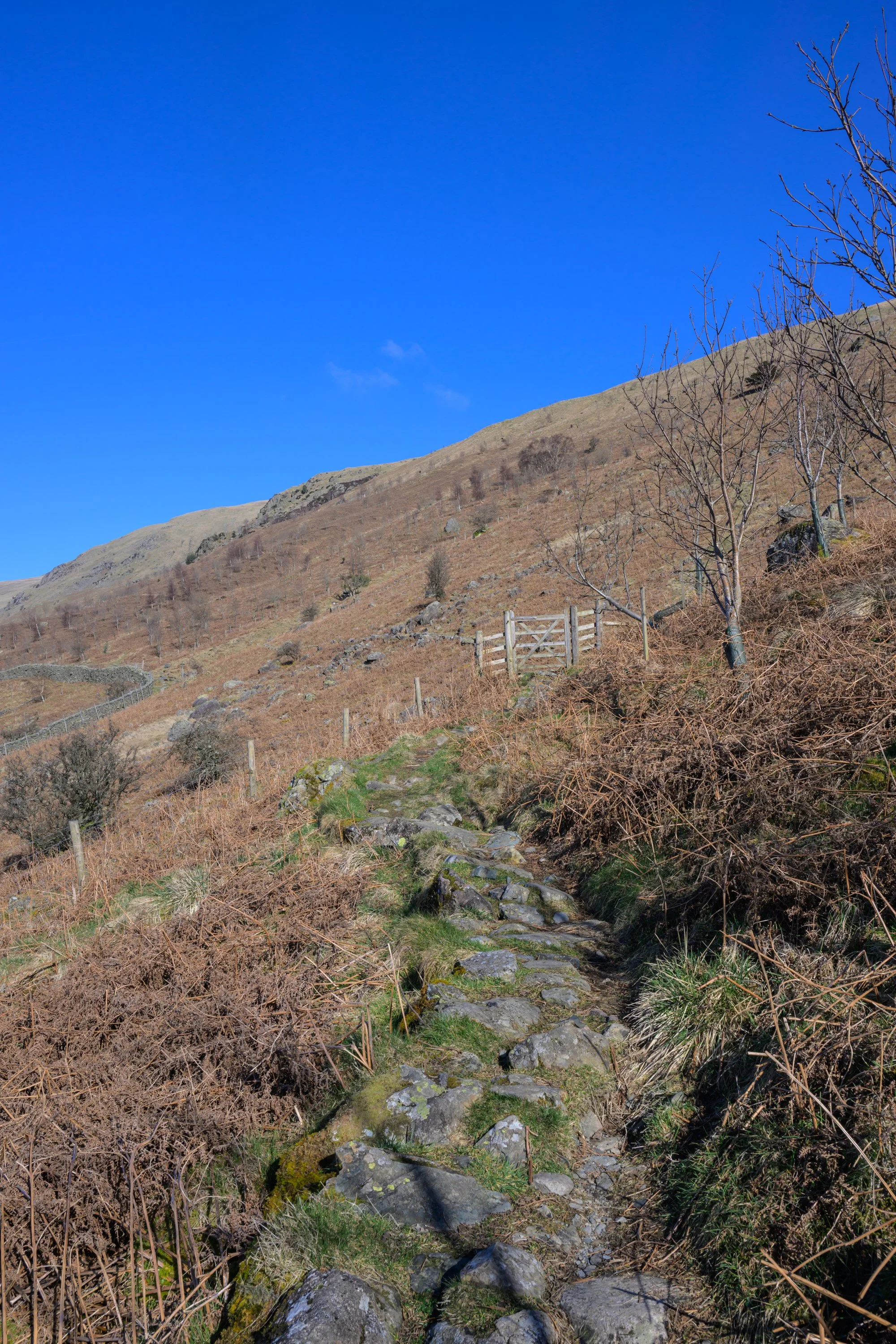
Follow the rocky track as it climbs up the side of the mountain
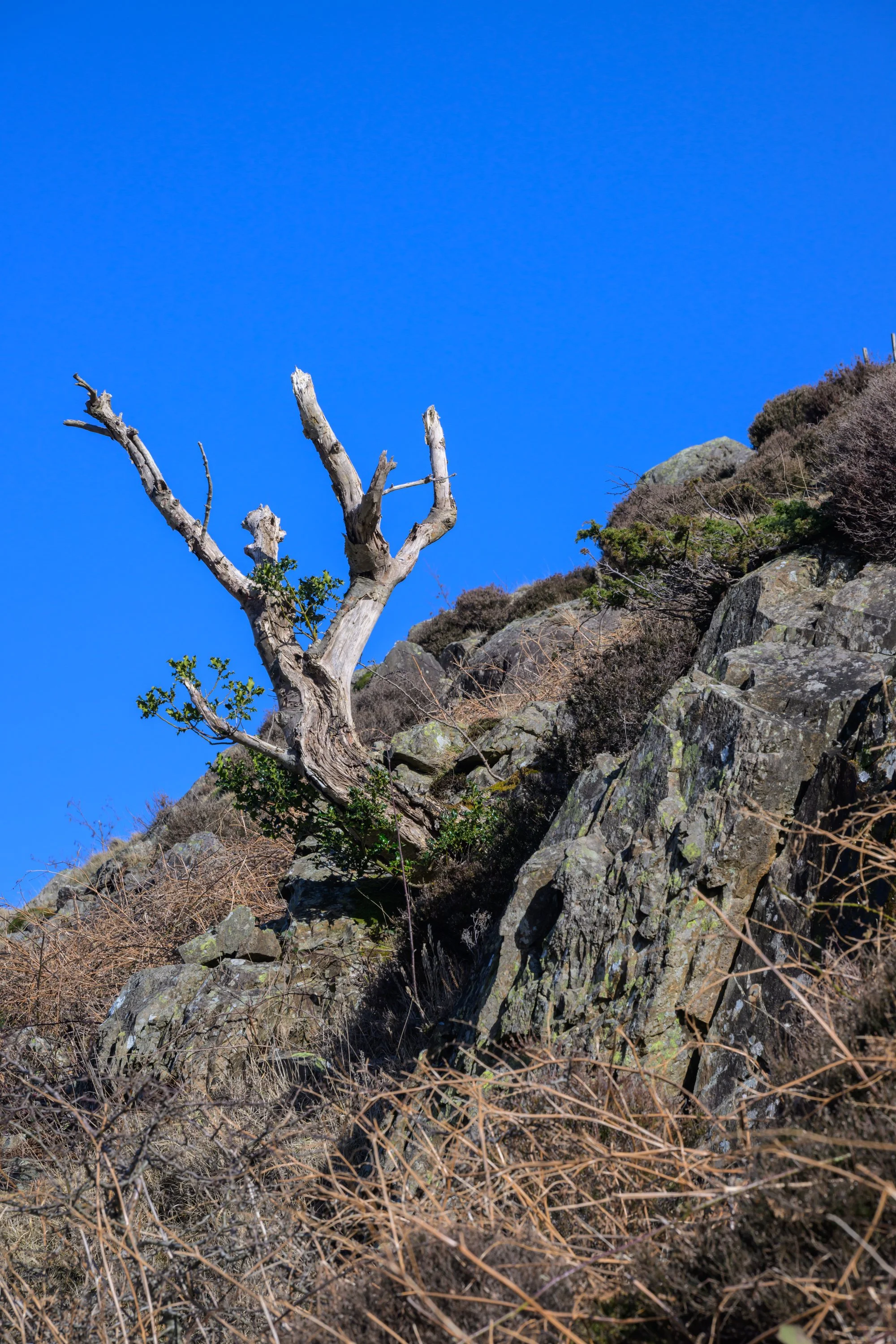
and past the tree growing from the rocks
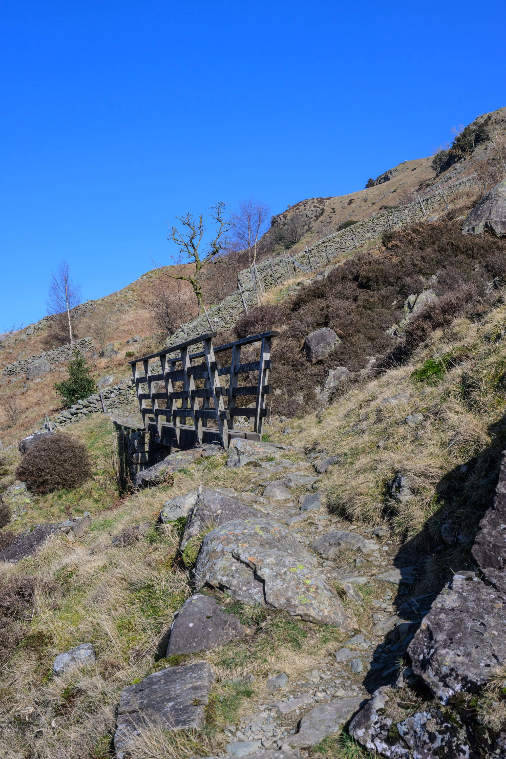
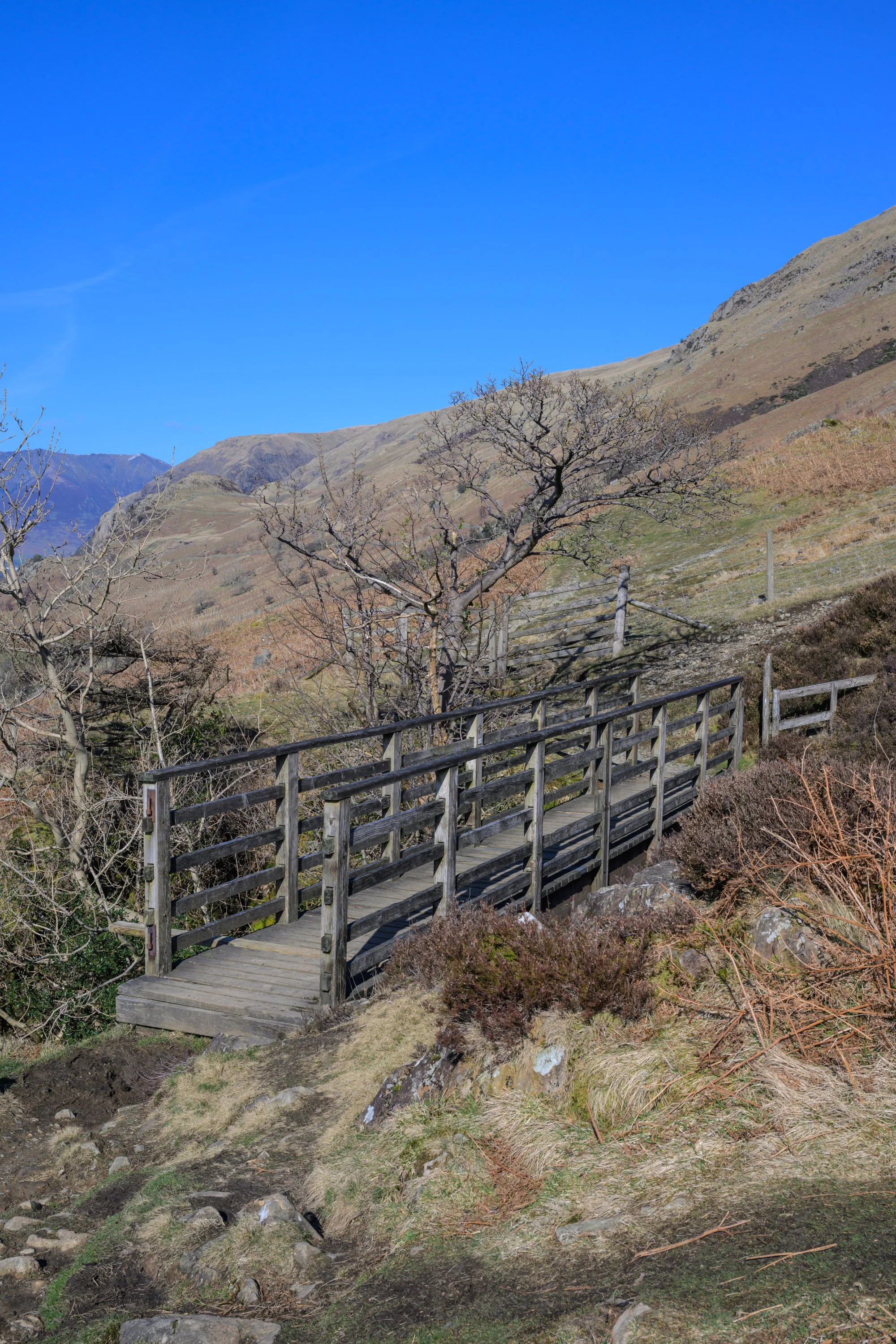
until you reach the wooden footbridge
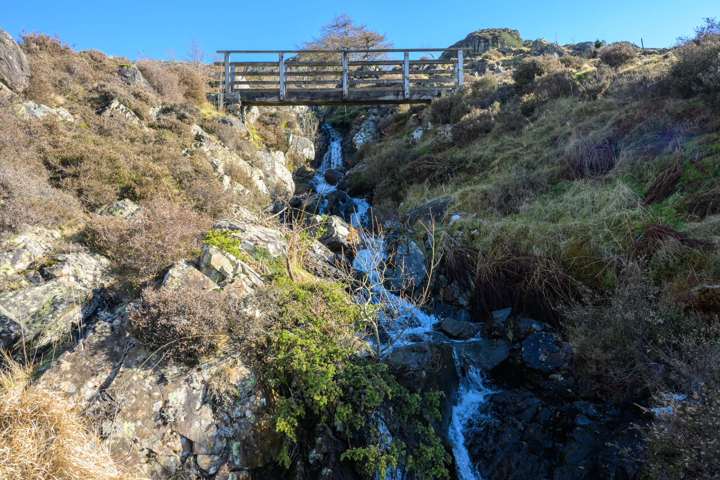
A little detour down along the side of the gill provides a better view of the bridge and waterfall
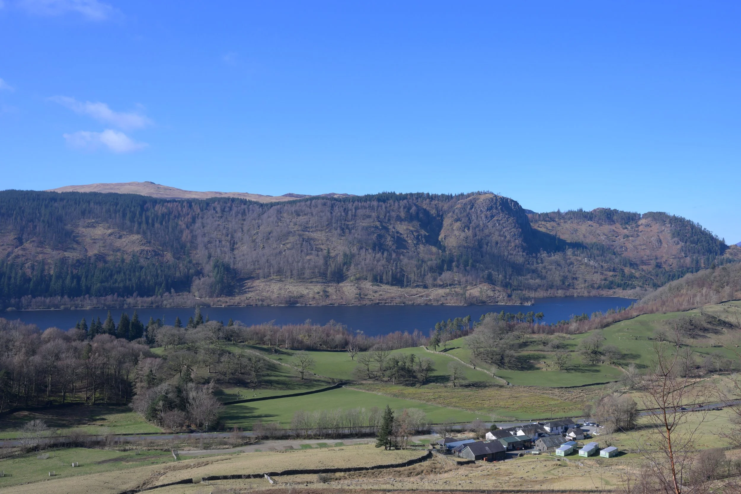
Returning to the path we can get a better view across to Thirlmere reservoir.
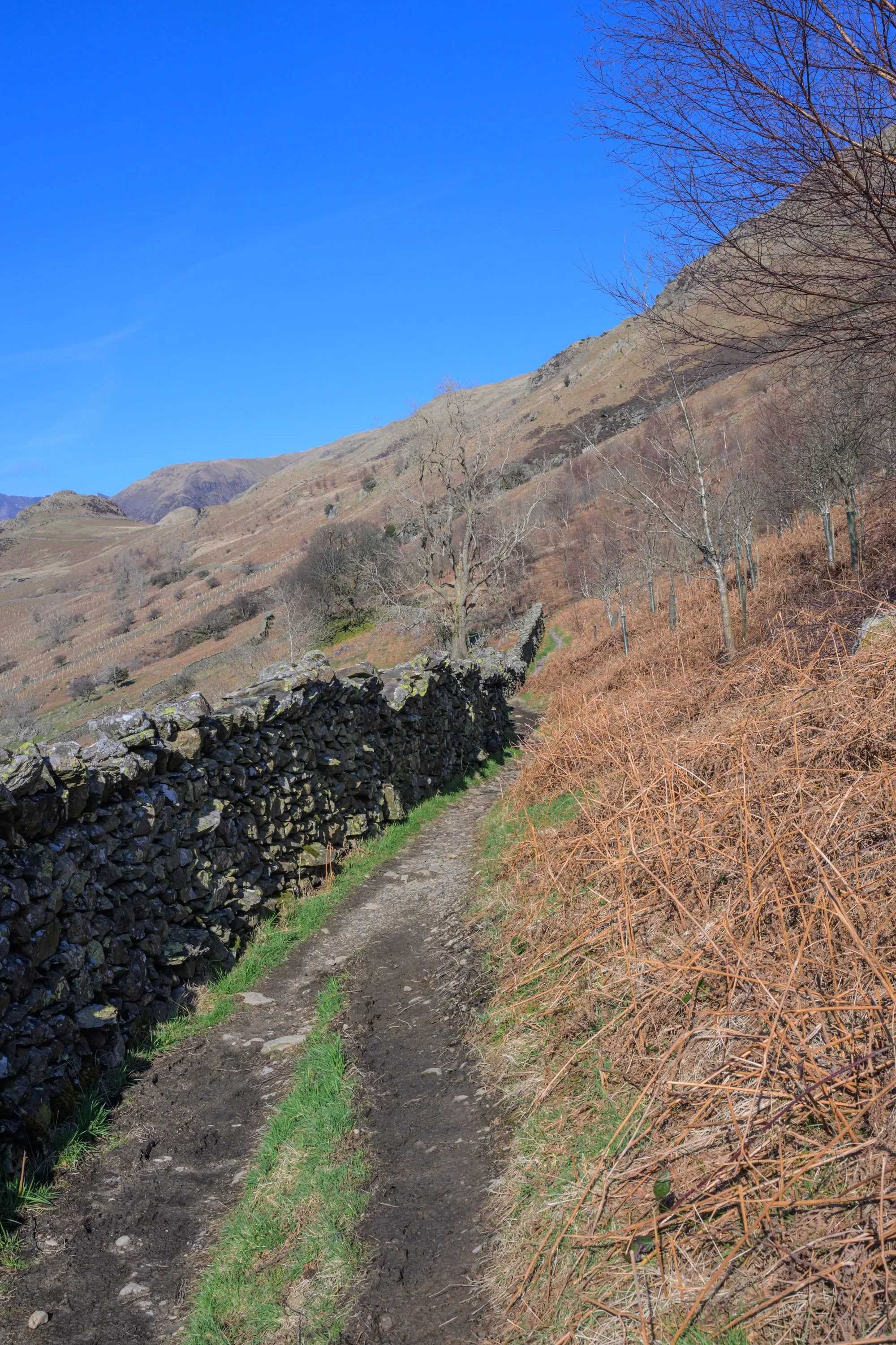
Follow the track as it climbs alongside the dry stone wall
When you reach a fork at the highest part of the wall take the right hand fork further up the hillside
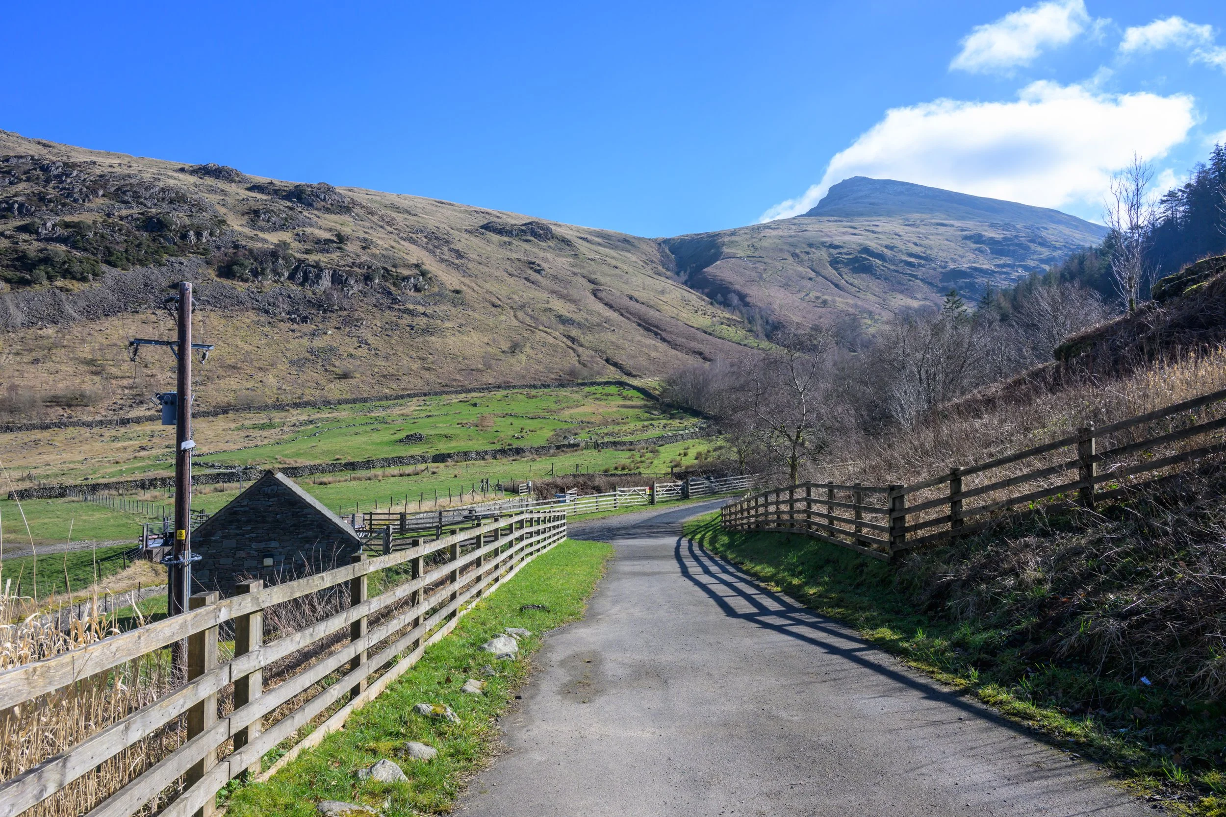
Views over Thirlspot Farm towards Thirlmere
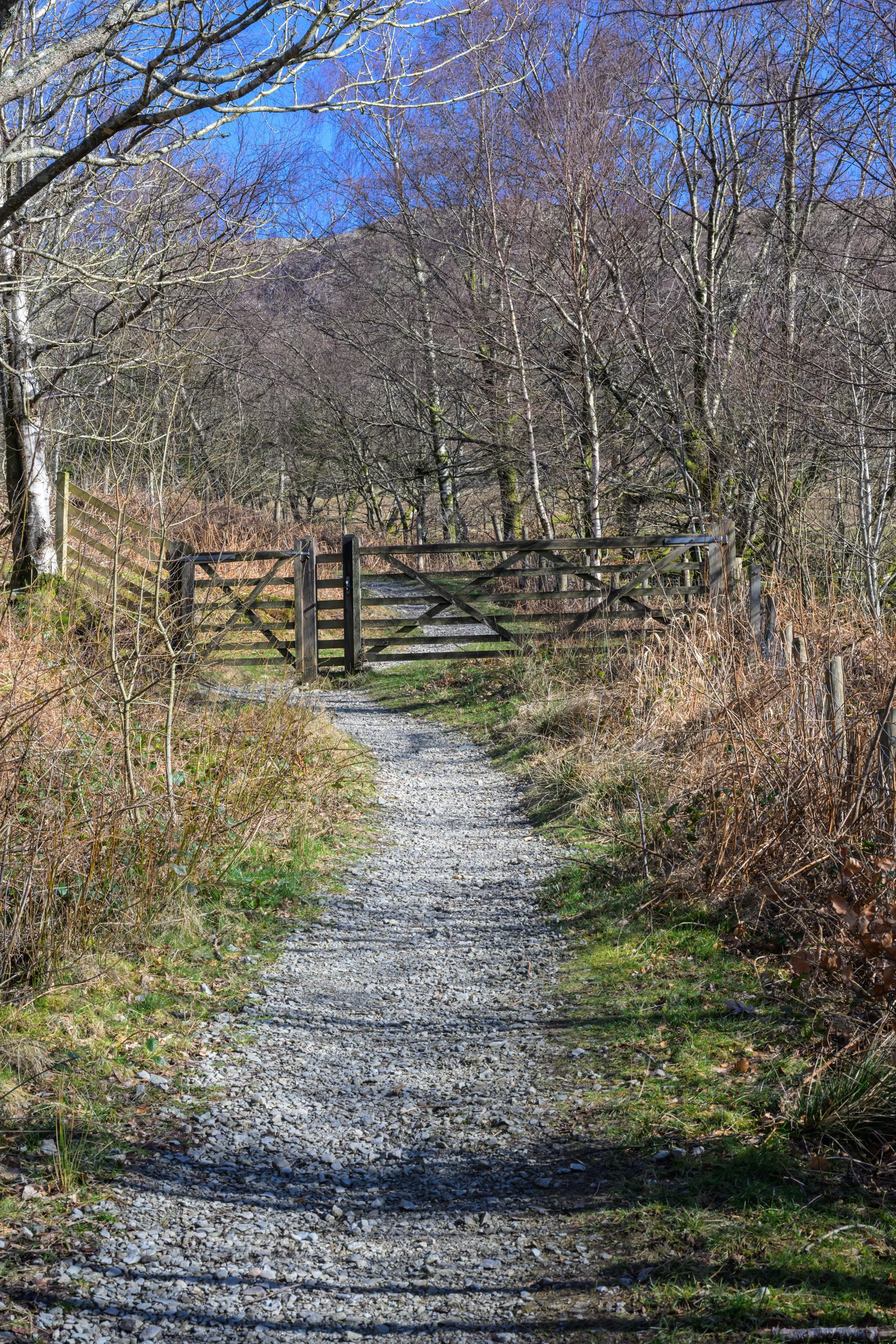
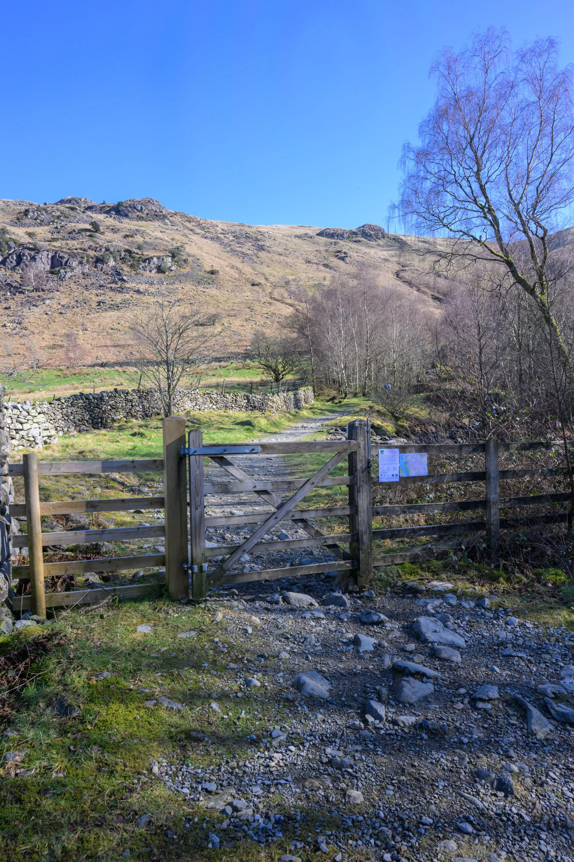
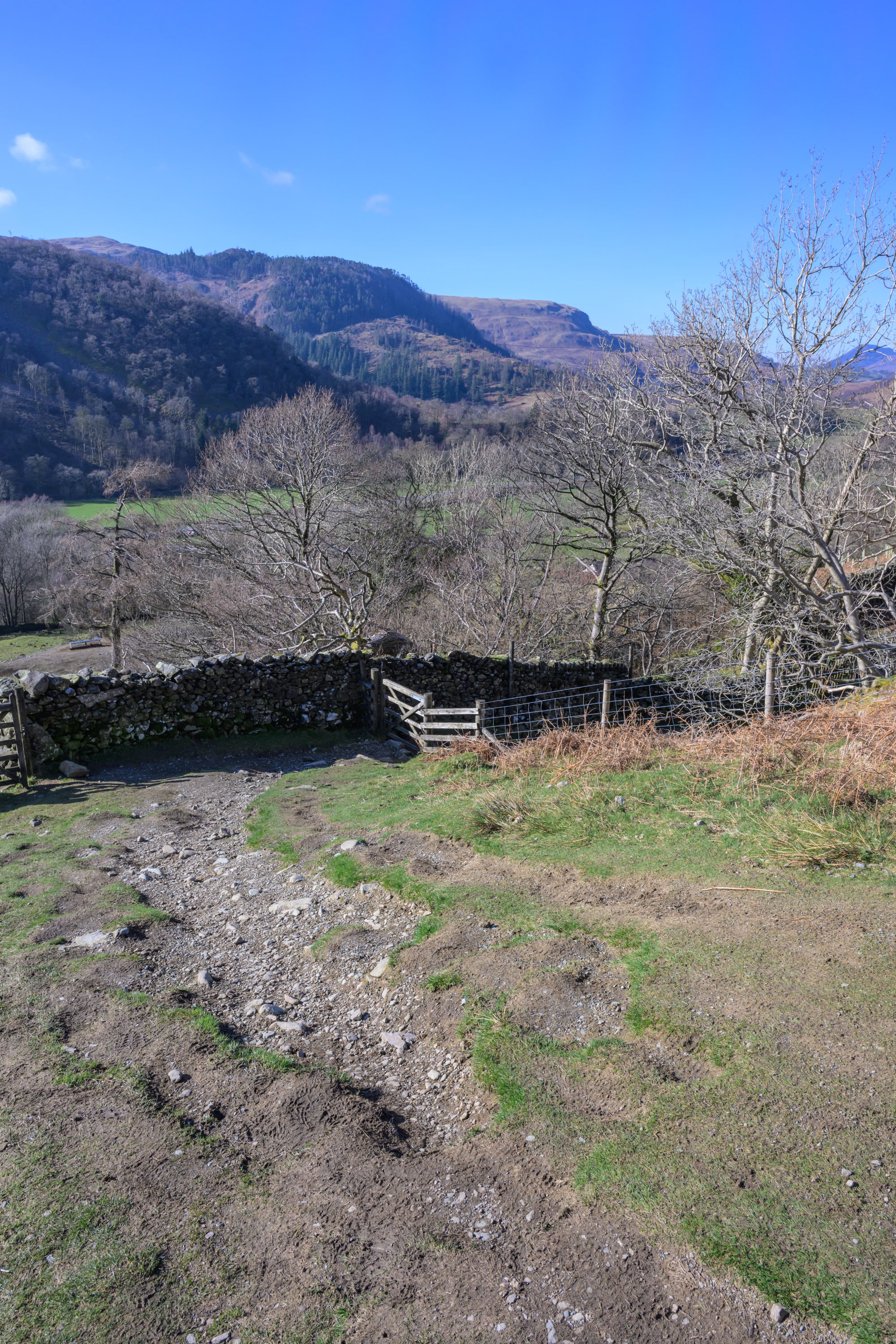
Follow the path through the gate . . .
and continue onwards through the right hand gate at the Thirlspot Farm signpost
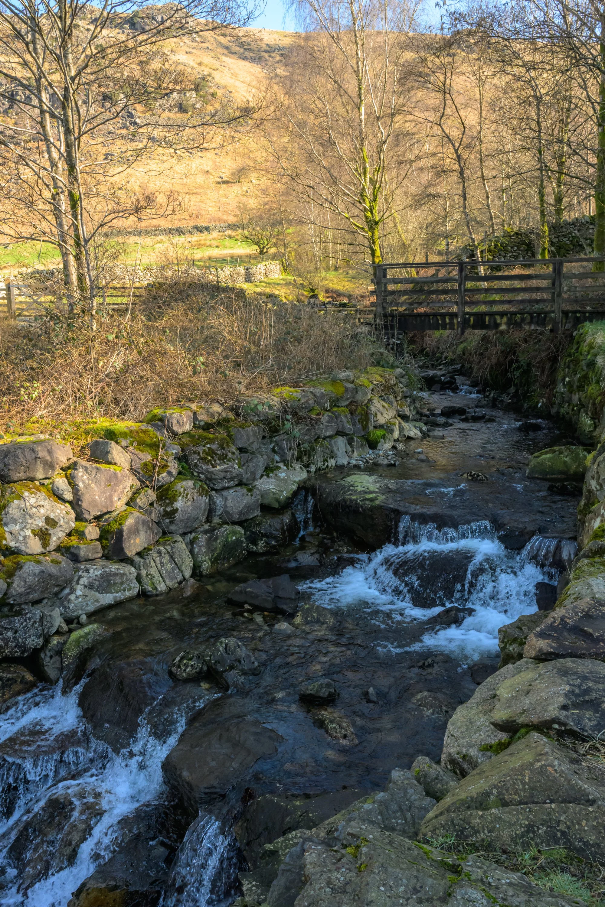
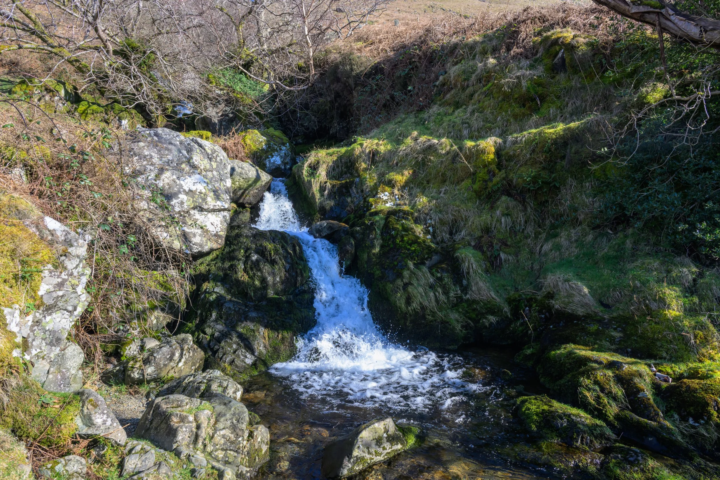
You soon reach another wooden footbridge over Fisherplace Gill
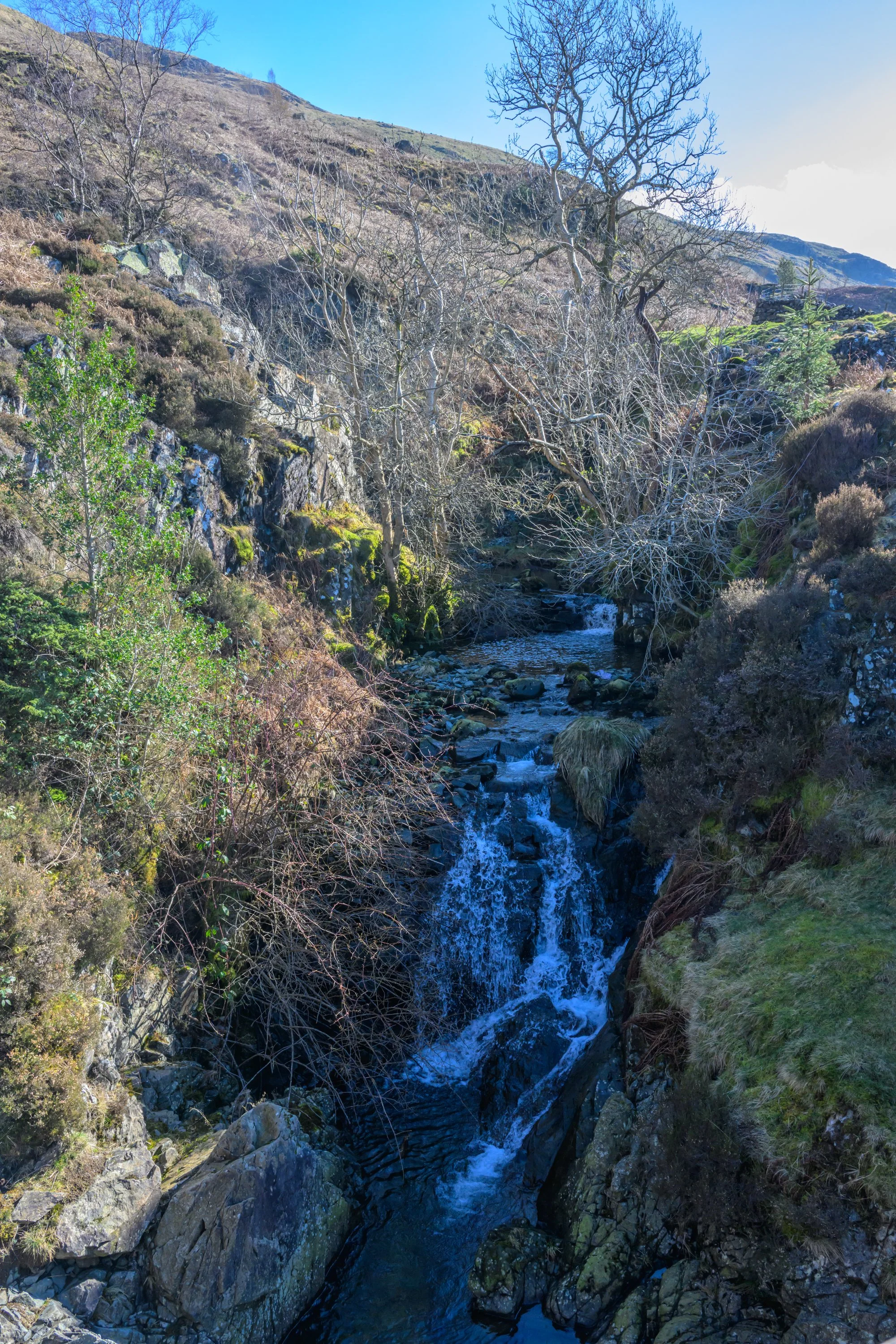
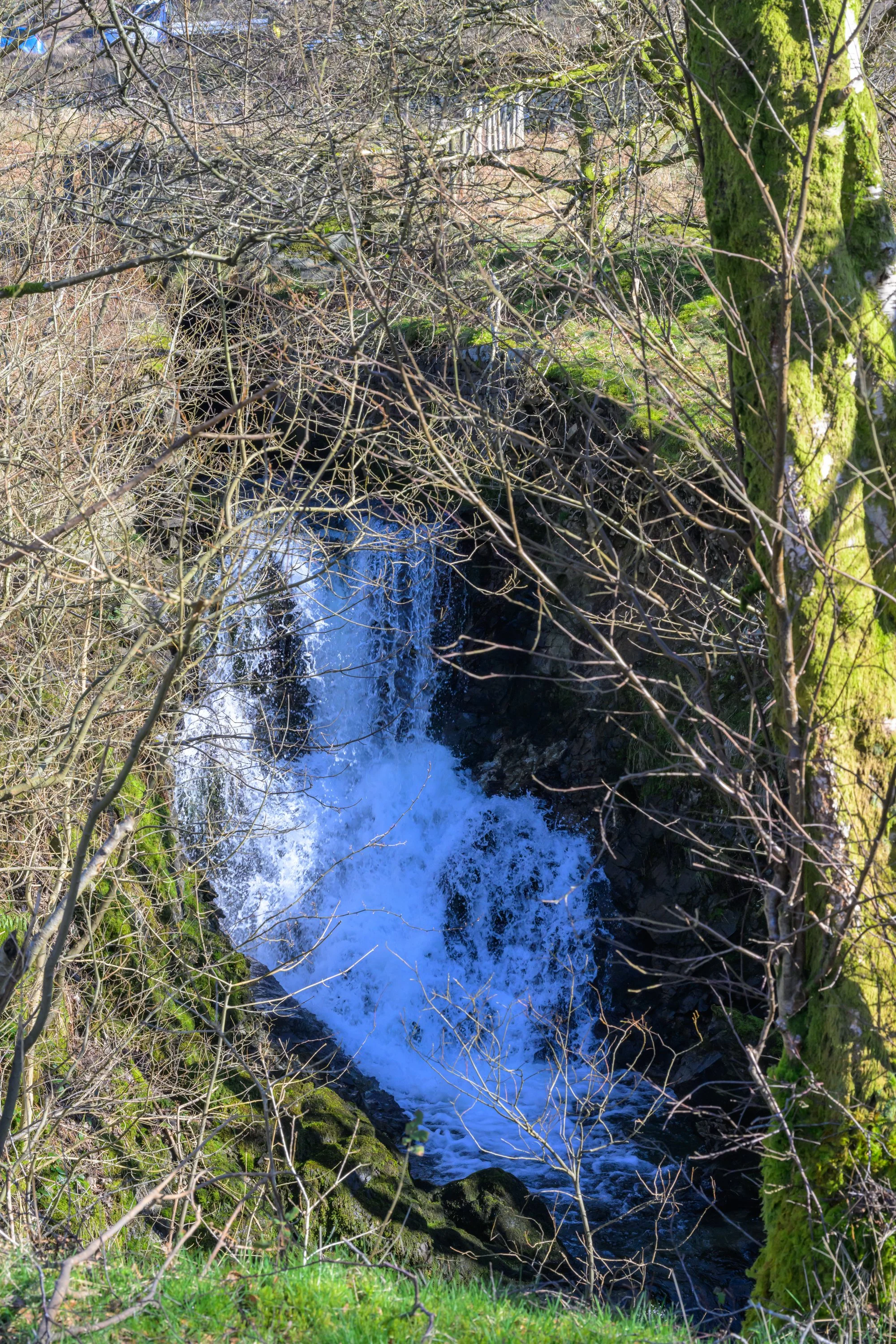
Waterfall at Fisherplace Gill
Continue along the side of the dry stone wall
and down to pass through the gate
You soon reach Sty Beck Falls
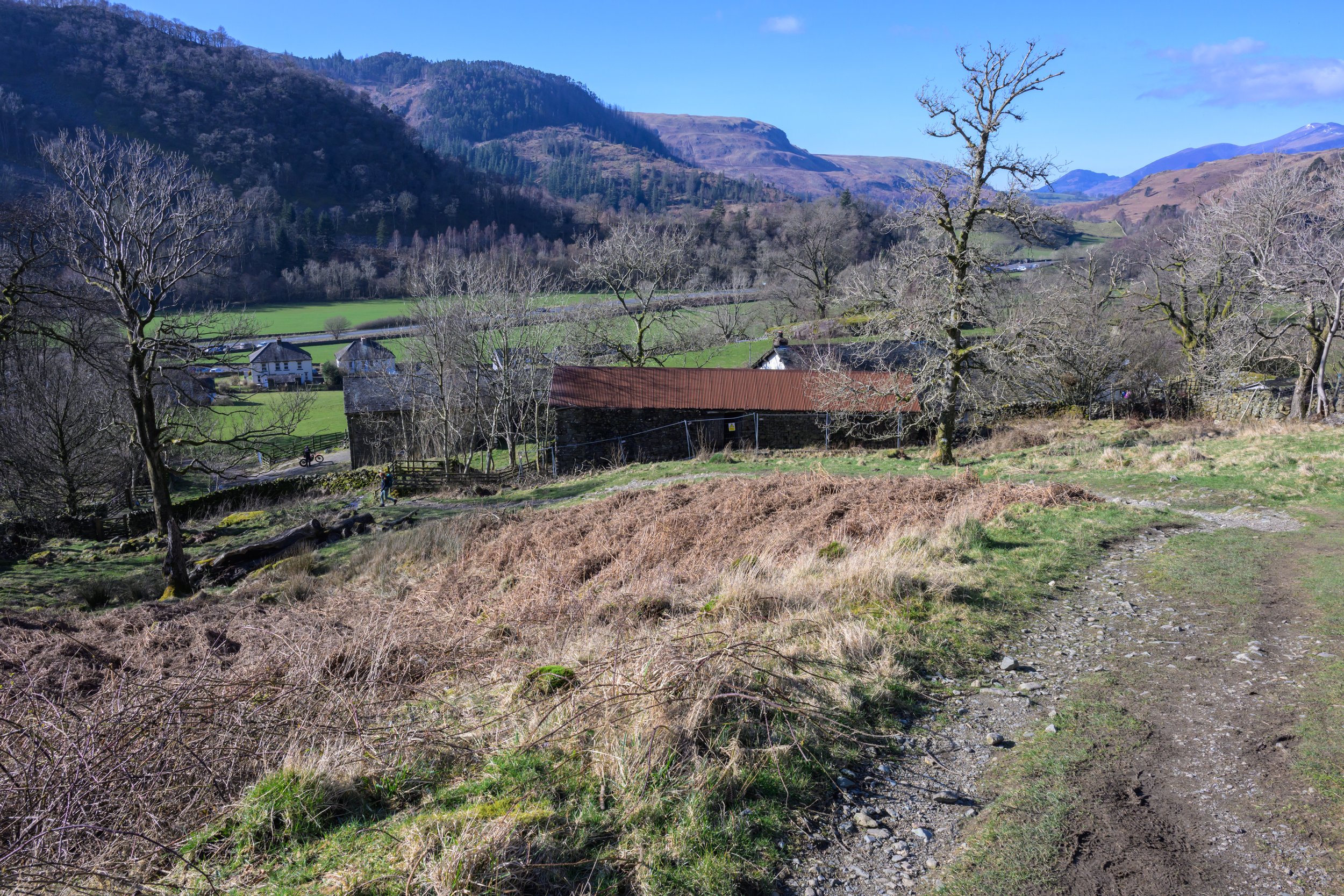
Head down the path towards Stybeck Farm and the small settlement of Stanah. The A591 can be seen as you descend to the farm.
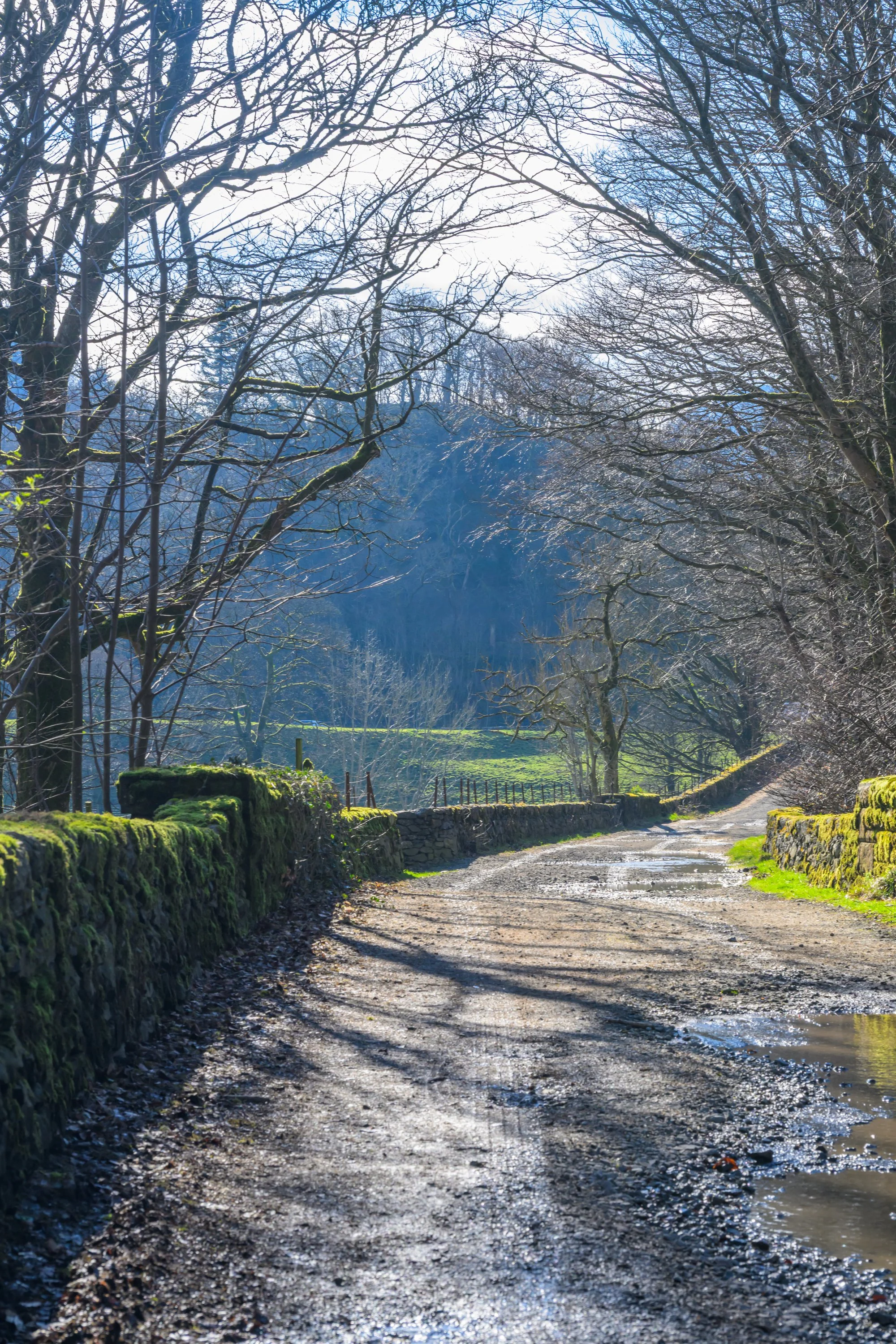
At Stanah turn right onto the B5322 and follow the tarmac road towards Legburthwaite
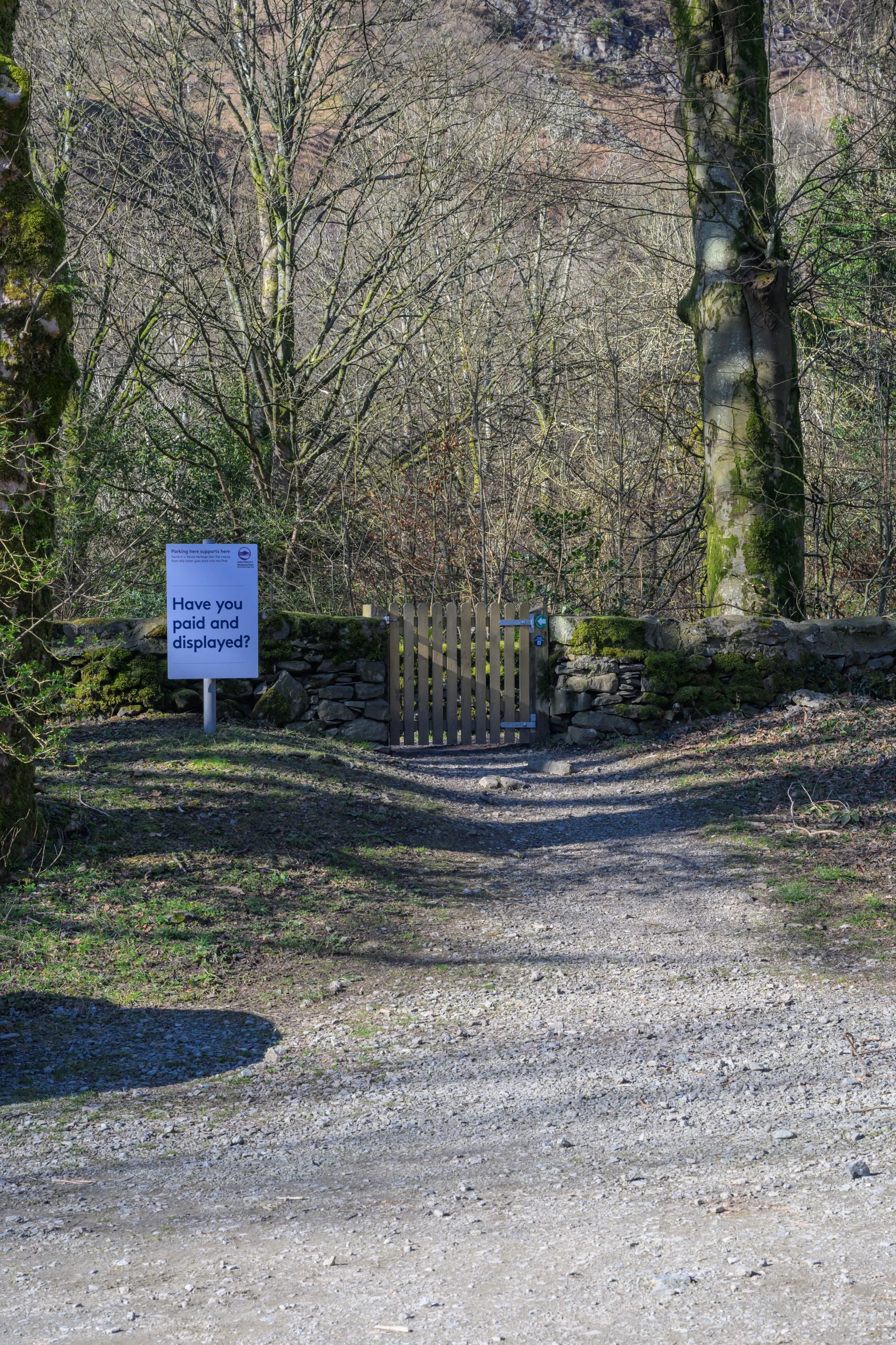
Pass through the carpark and exit via the gate next to the payment sign
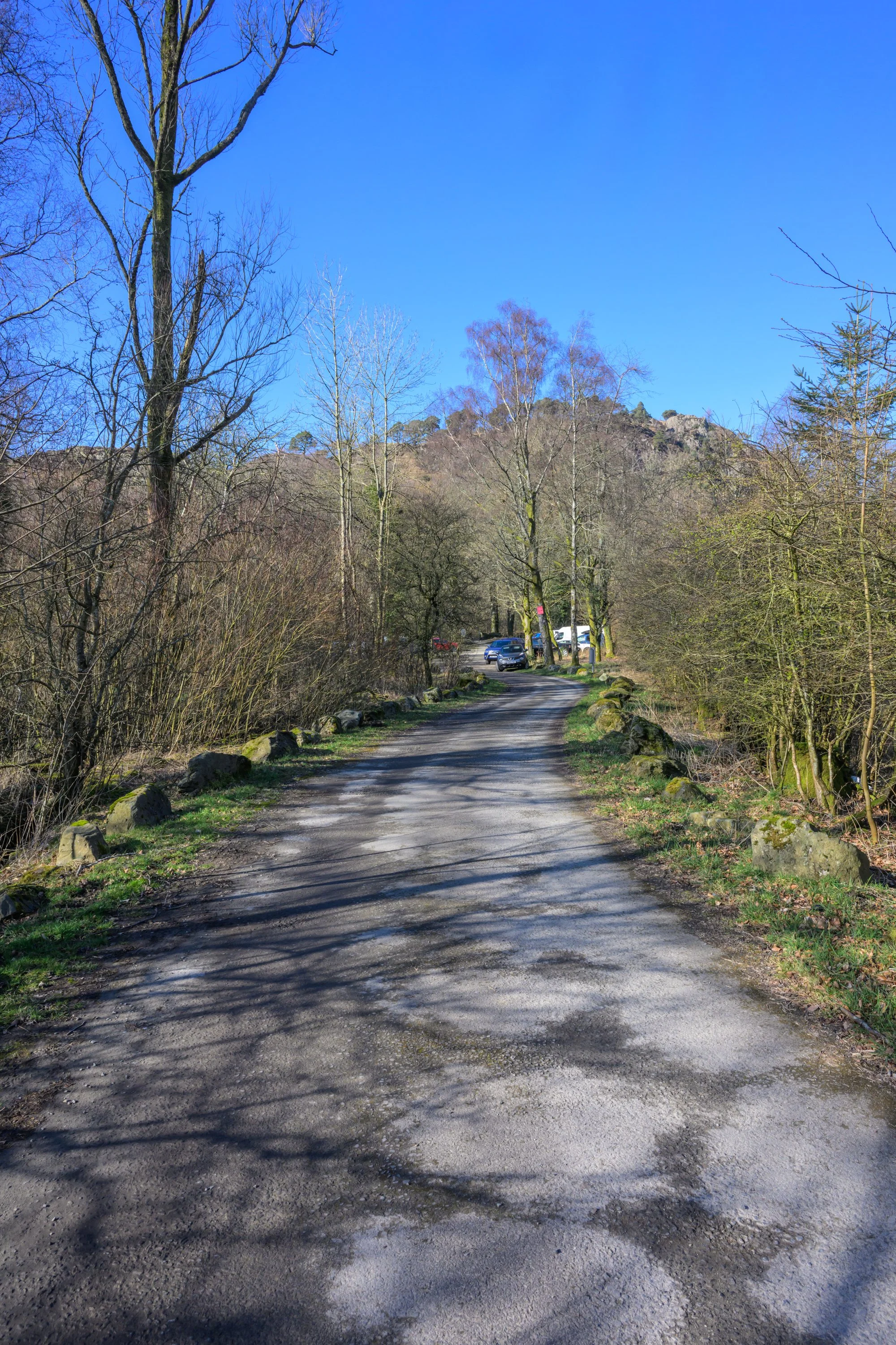
Turn left into Legburthwaite carpark
Turn left and follow the track as it takes you towards the A591 and the lay-by we parked at
Getting There:
Thirlmere is easily accessible from the A591 just south of Keswick.
Dam Road Lay-by: Grid Ref NY 122 222
Alternatively, continue along the road to find a suitable space along the lake or use the car parks at Swirls or Legburthwaite
Swirls Car Park: Grid Ref NY 316 168 Post Code CA12 4TW
Swirls Lay-by: Grid Ref NY 315 170
Legburthwaite Car Park: Grid Ref NY 317 195 Post Code CA12 4TW
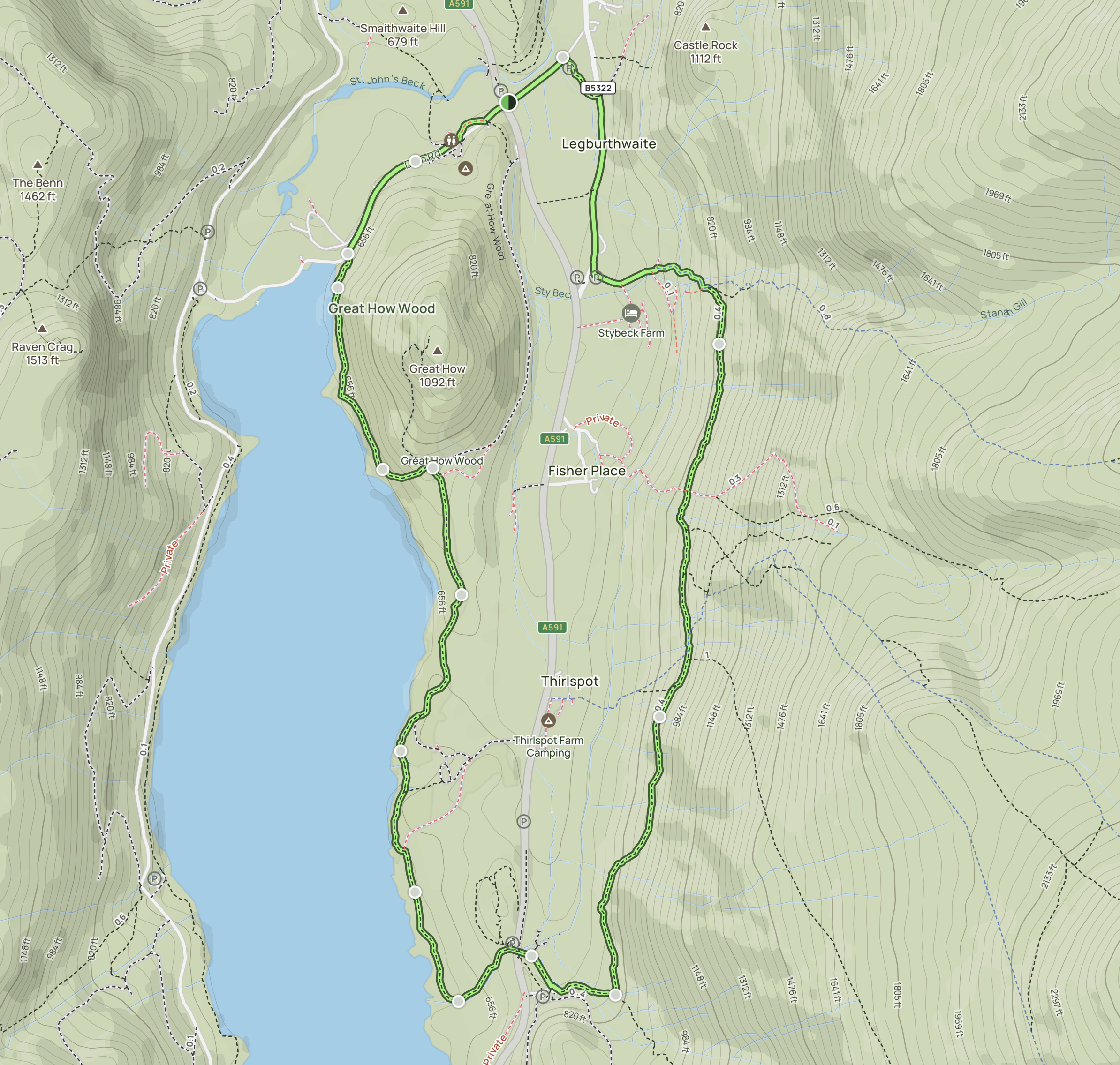
Route distance: 4.6 miles. Elevation Gain: 823ft. Expected walking time: 2.5 - 3 hours