Loweswater
Loweswater is one of the smaller of the lakes in the Lakes District and is not as busy as the neighbouring lakes at Buttermere and Crummock Water.
The countryside around Loweswater consists mainly of rolling hills rather than the rocky mountains found elsewhere in the Lake District (though Mellbreak, part of the Loweswater Fells, is steep and craggy). The lake is not far from Cockermouth and is also easily reached from elsewhere in West Cumbria. The Loweswater Fells, to the south of the lake, consists of Mellbreak, Gavel Fell, Blake Fell, Hen Comb and Burnbank Fell. The south side of the lake lies Holme Wood, a small forest, within which you can find Holme Force waterfall, rarely visited as it is not noticeable from the lakeside path.
To the north of the lake lies the Fellbarrow range and the access road that follows along the lakeshore and links the A5086 to the Vale of Lorton and across Whinlatter Pass towards Keswick.
Loweswater is unusual in that the water drains towards the centre of the Lake District rather than away from it like all of the other lakes, draining first into Crummock Water, and then into the River Cocker, eventually joining the River Derwent and reaching the sea at Workington.
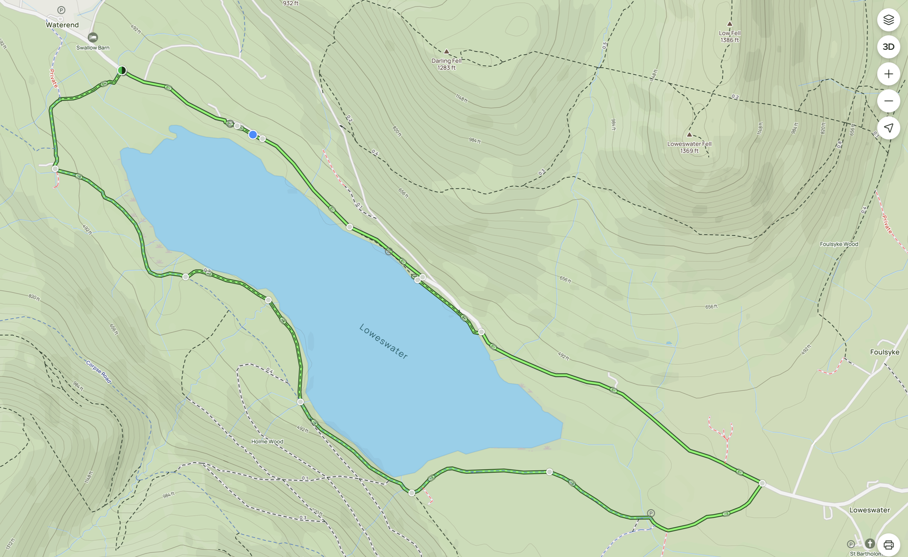
There is a popular lakeside path, which provides a 4 mile circular walk right round the lake. There are a number of parking areas and lay-bys along the round where you can start the walk although the most popular are the lay-by at the north end of the lake and the National Trust car park at Maggie’s Bridge just before you reach Loweswater village itself. The car park at Maggie’s Bridge is small though, only having space for about 8 cars, and is quite popular. There is also parking available in Loweswater village, a little further on from the lake, or at the Kirkstile Inn for those planning on making use of their excellent meals.
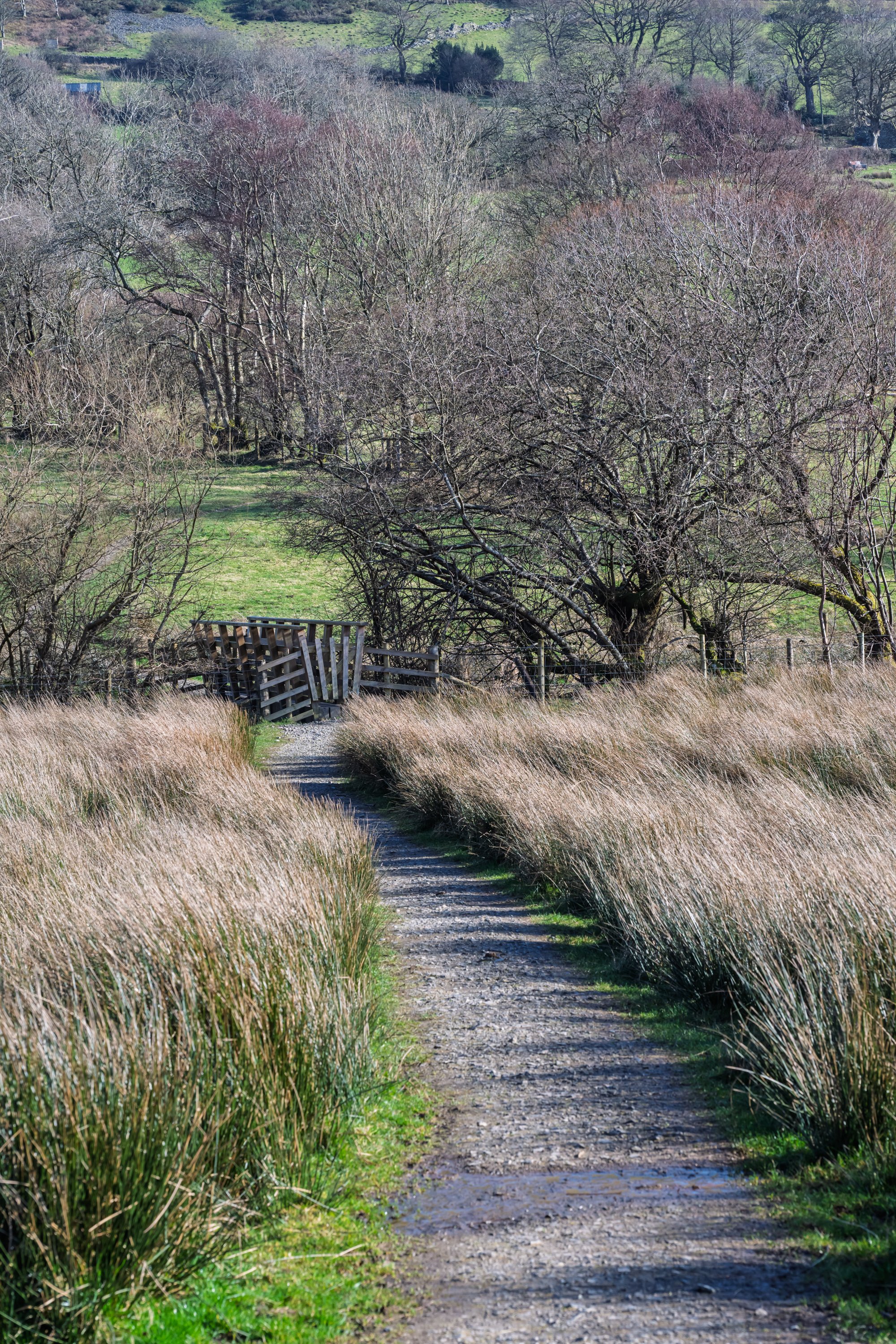
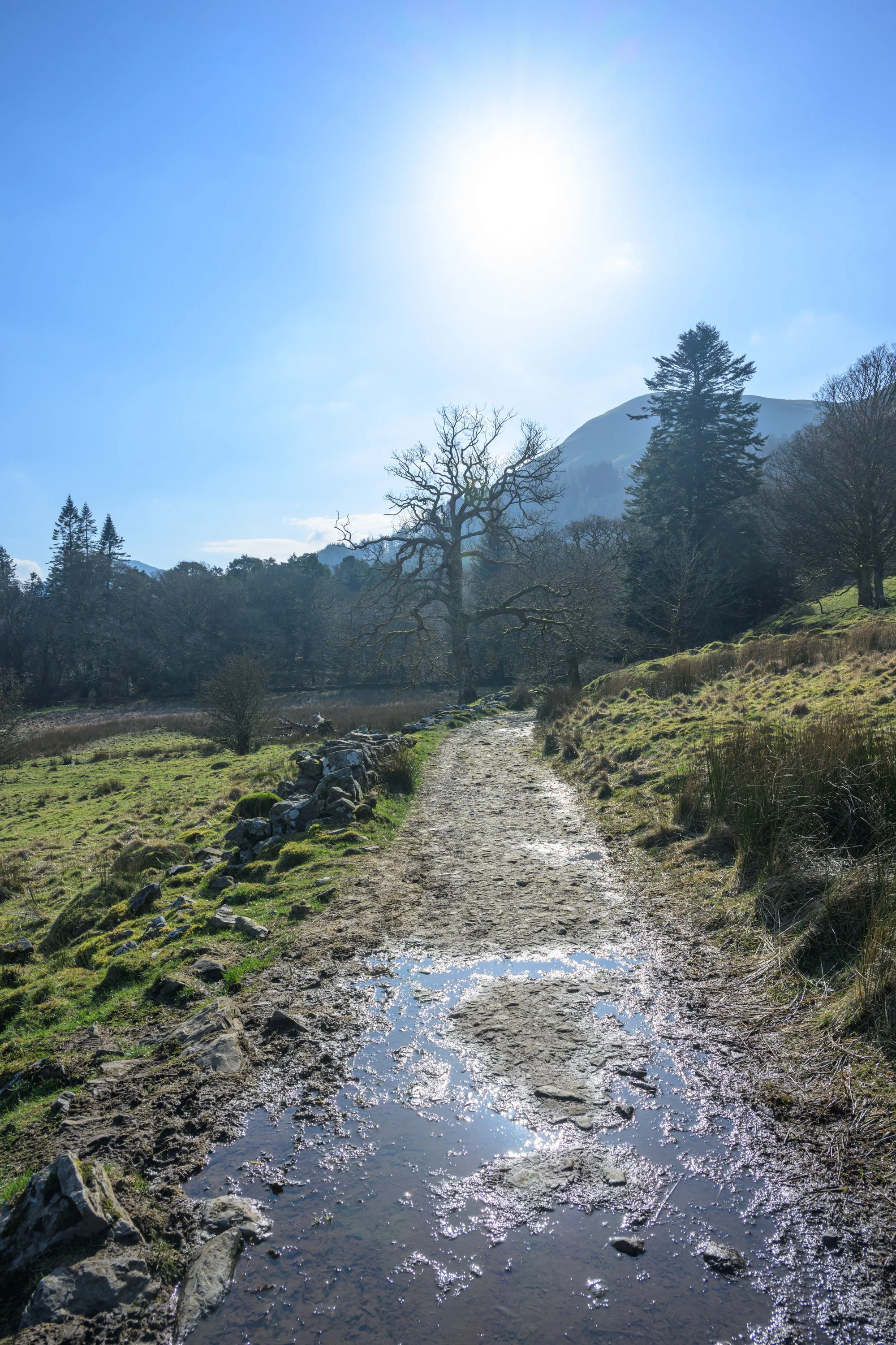
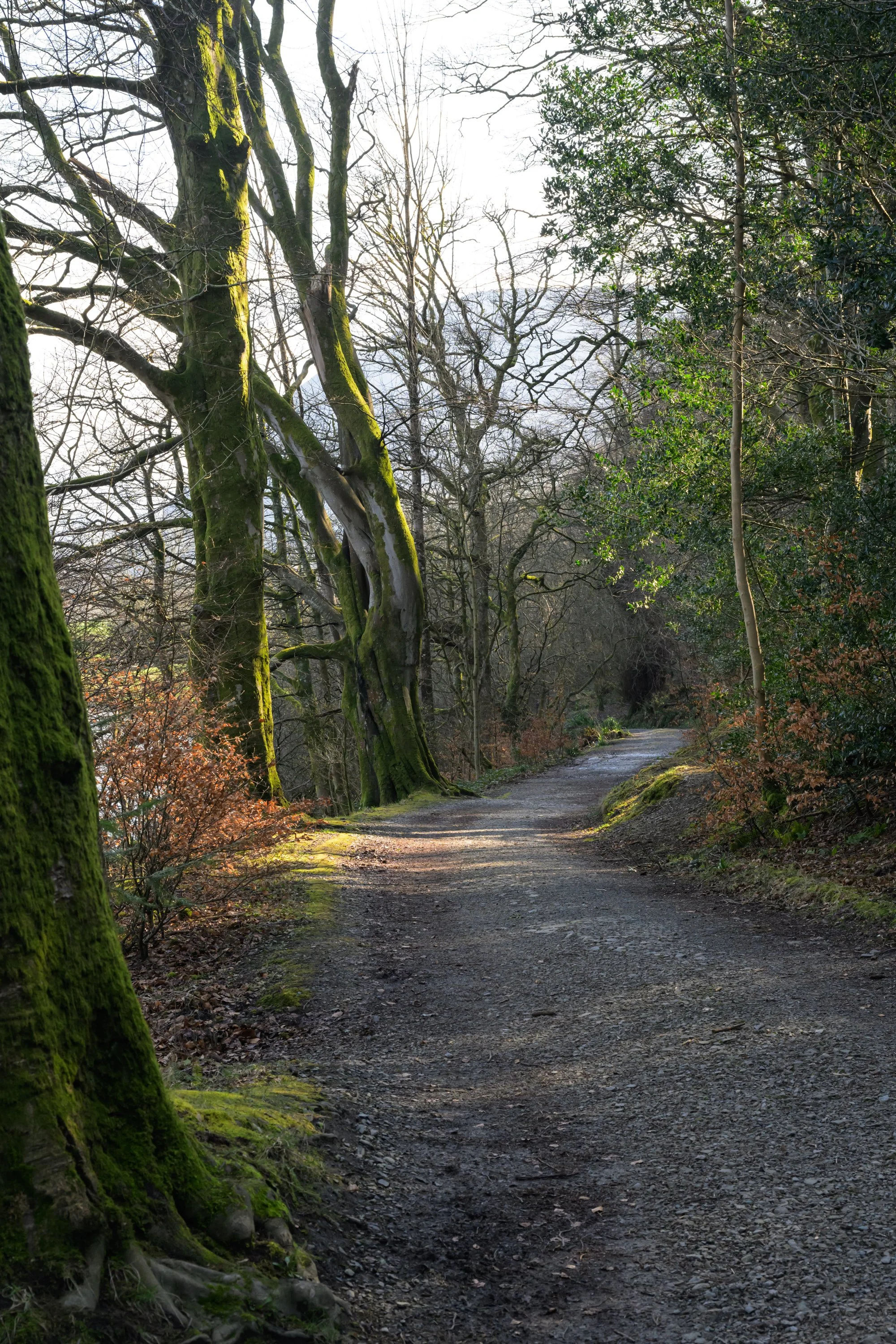
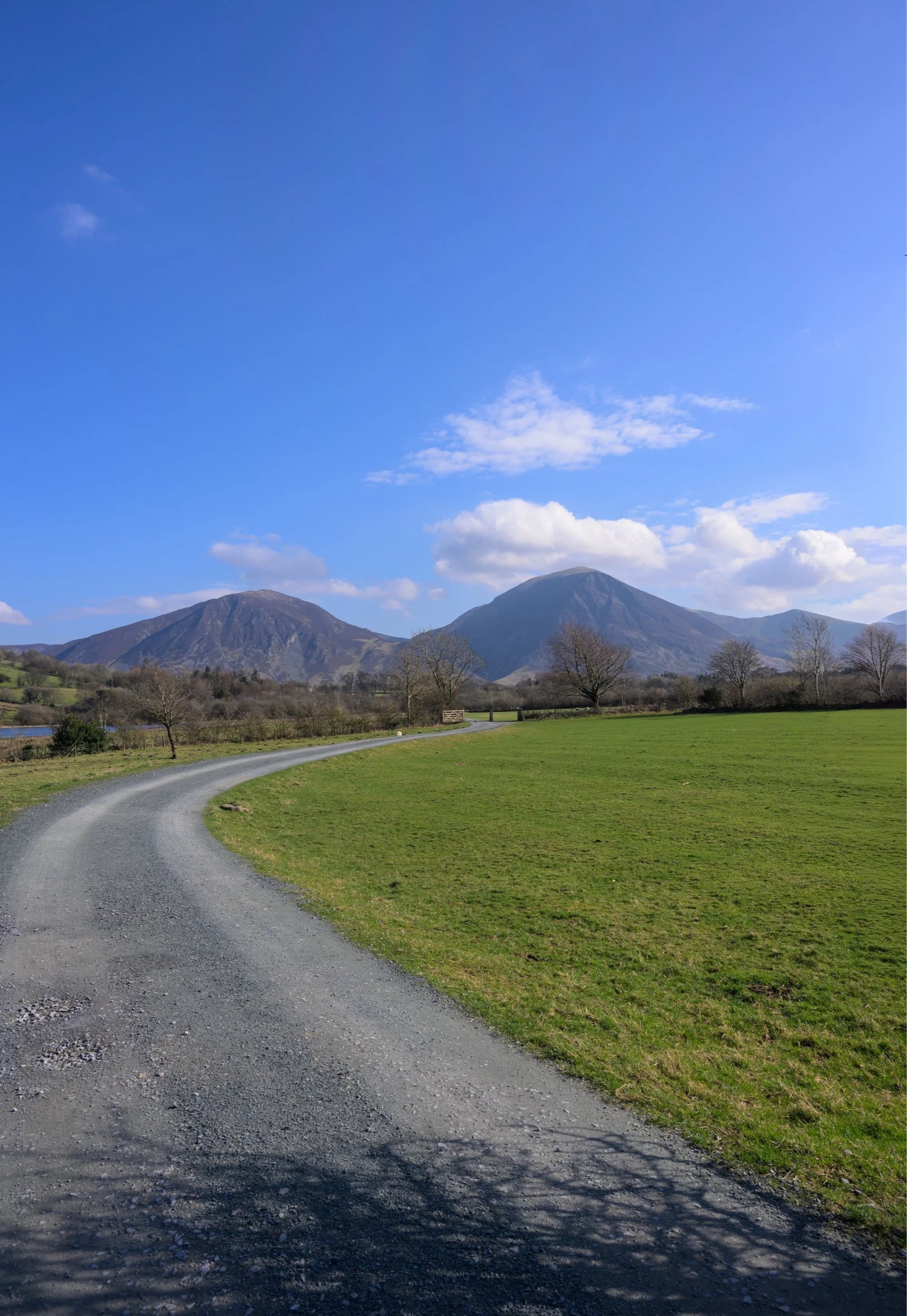
I started the walk at the lay-by to the north end of the lake. Parking is free and fills quite early so you may have to continue along the lake to look for roadside parking. From the lay-by, take the path by the side of the defibrillator “phone box” and down through the field and cross over the narrow gated footbridge, then join the access road and climb the relatively steep hill up towards Hudson Place.
Public footpath from the lay-by down towards the lake
As you reach the bottom of the field cross over the gated narrow bridge
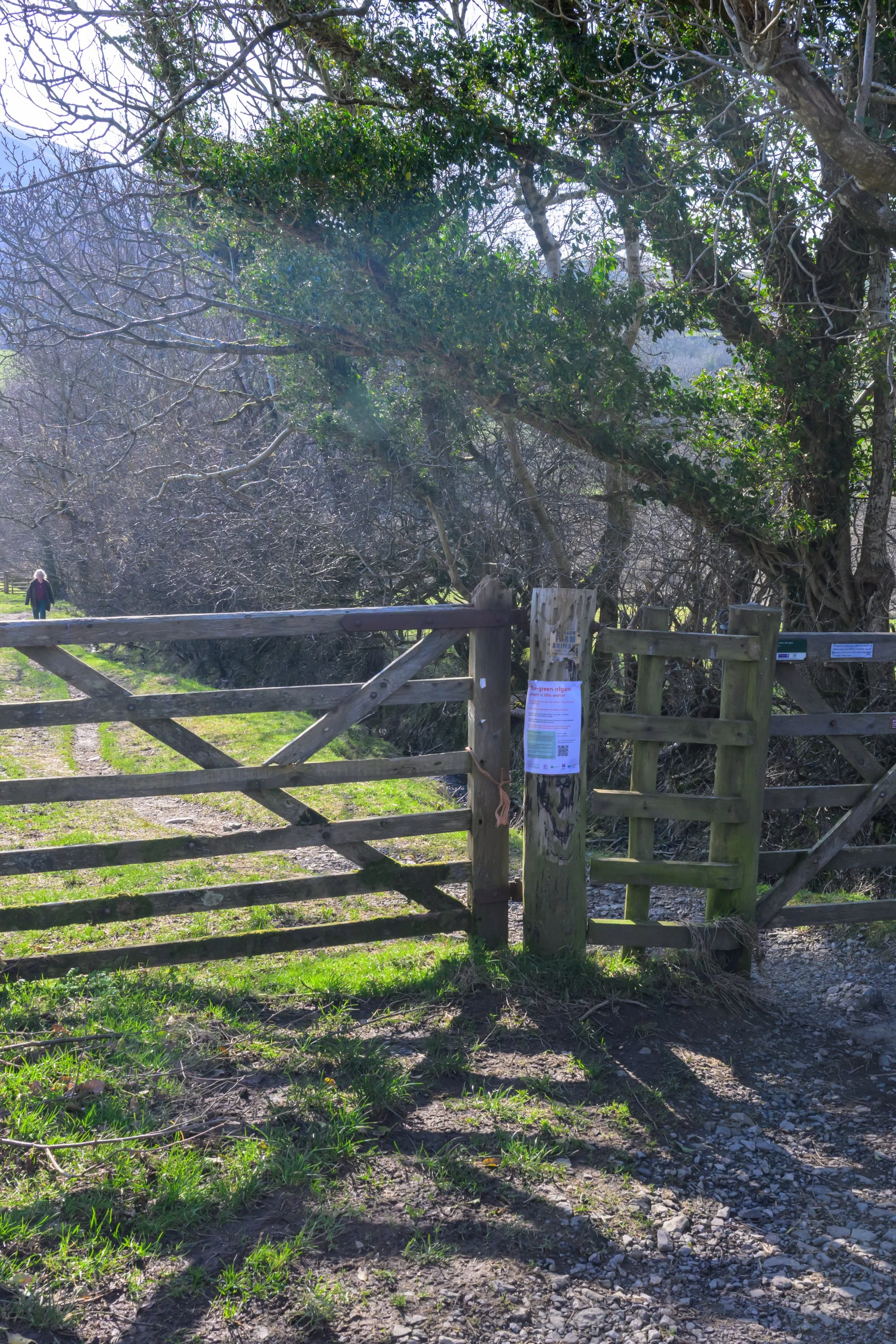
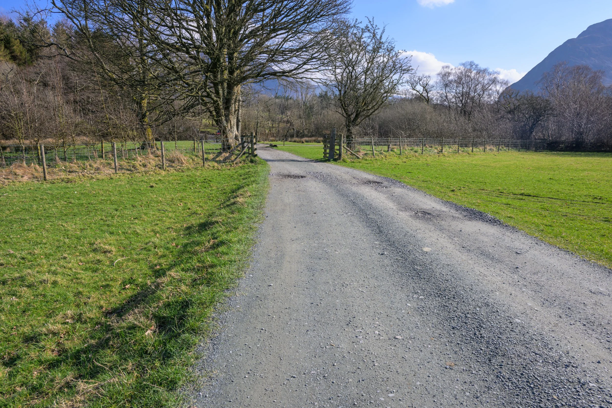
Keep left as you reach Hudson Place and pass through the gate (marked with a footpath marker) and pass down the narrow gravel path down towards the lake
Follow the narrow path down from Hudson’s Place towards the lake.
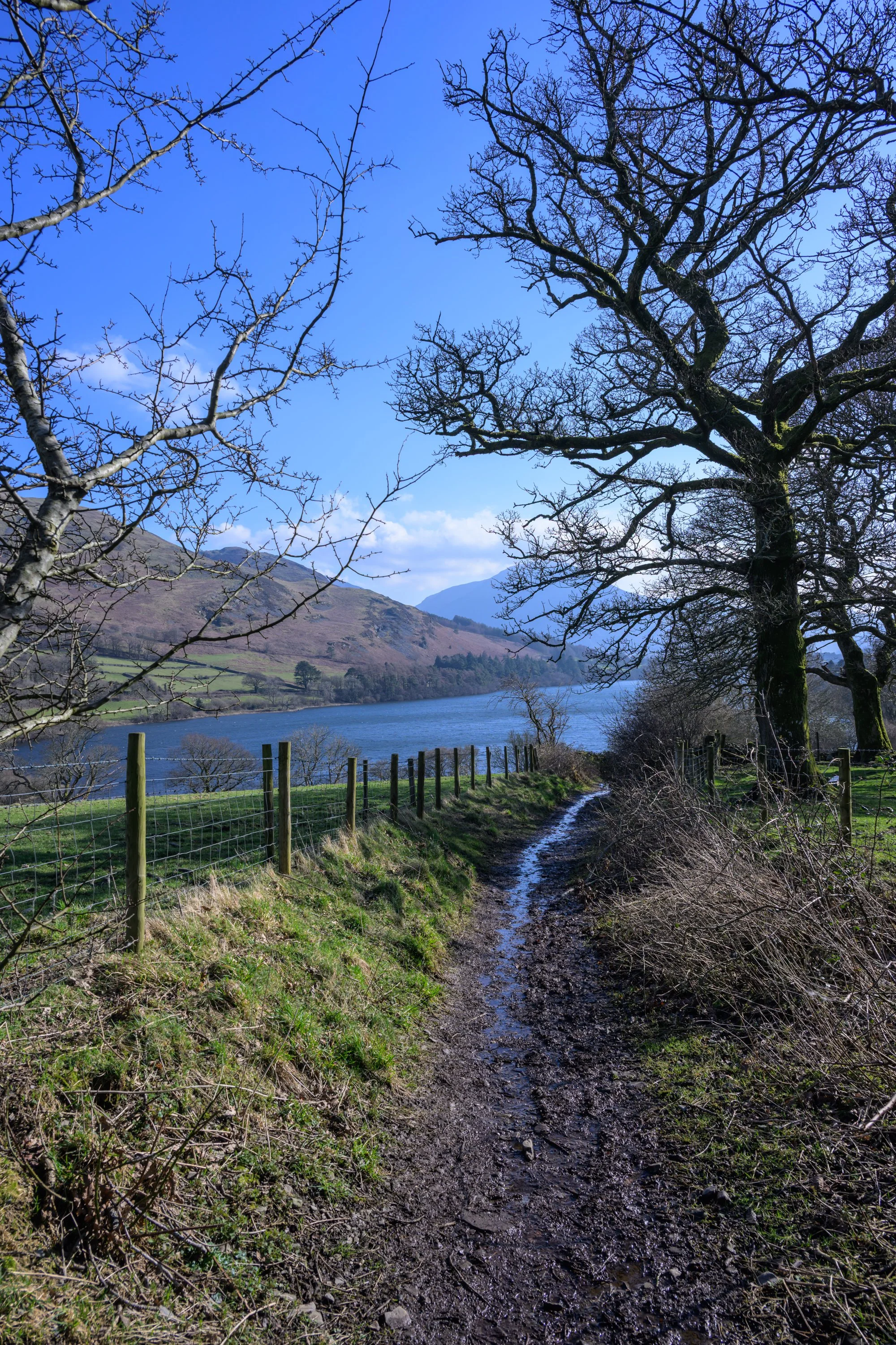
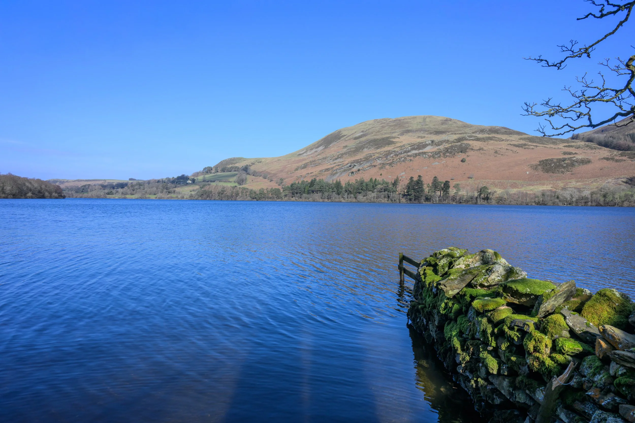
The path soon offers open views across to the lake
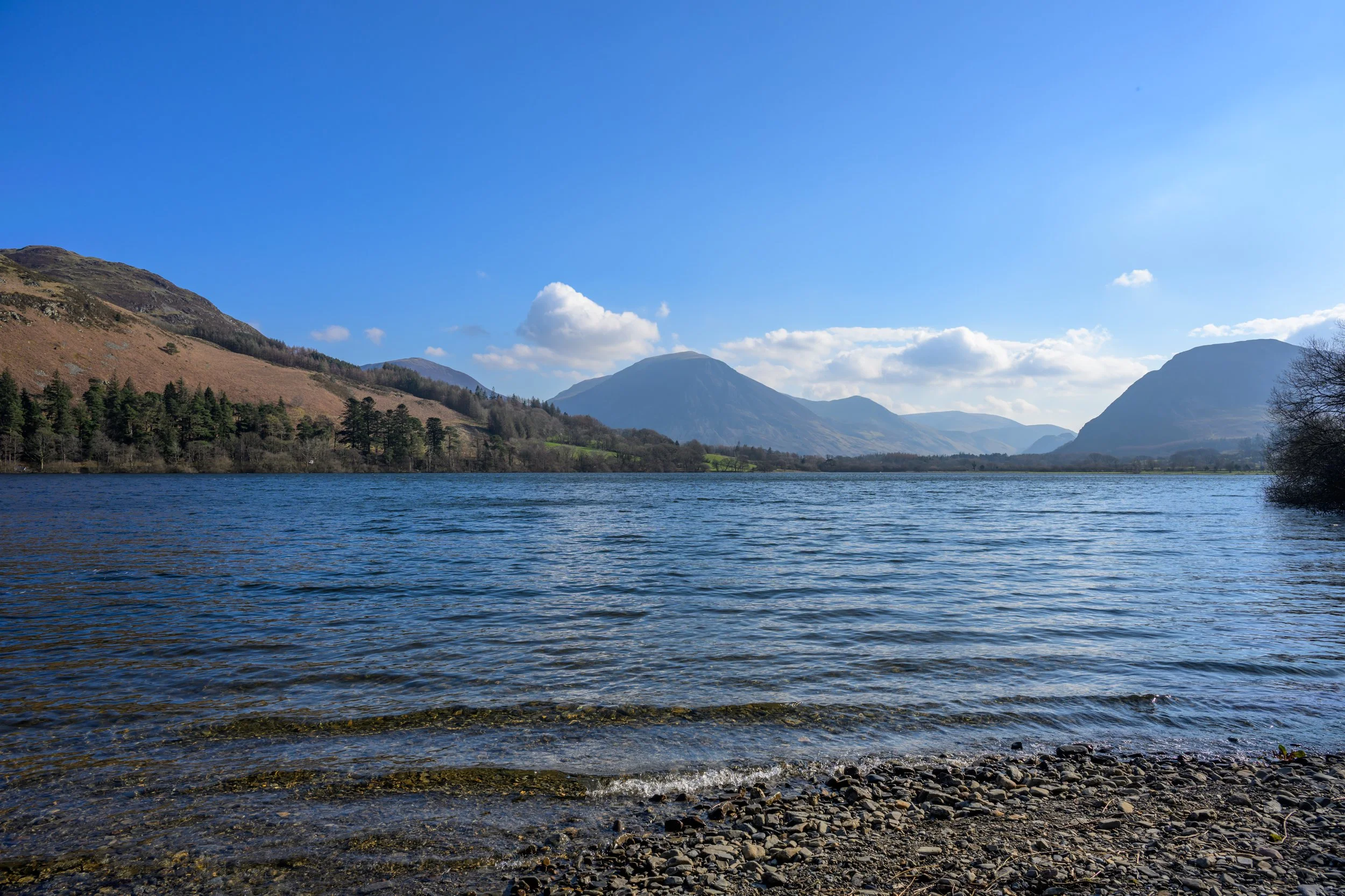
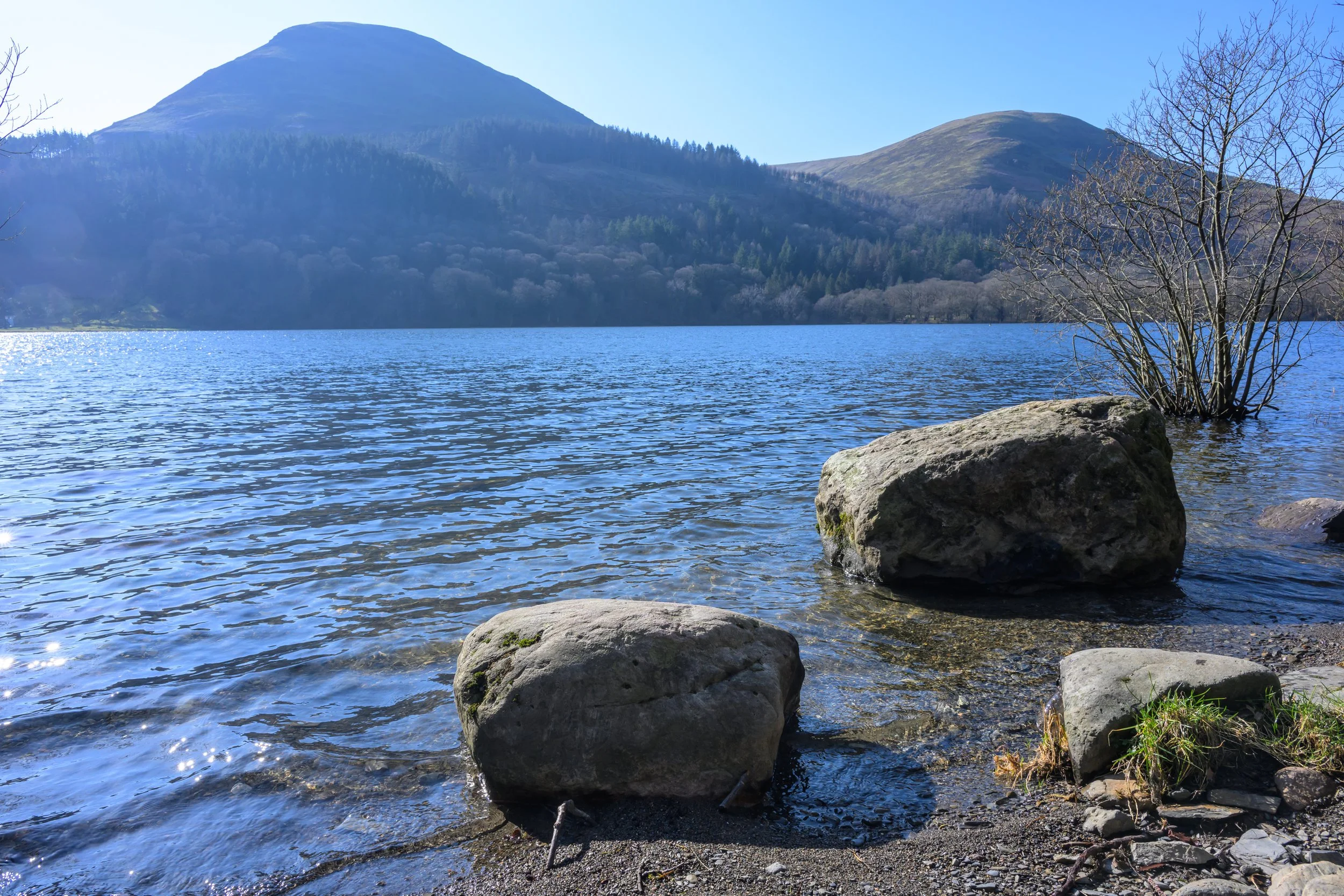
As the path descends towards the lake you get stunning views across to the Fellbarrow range.
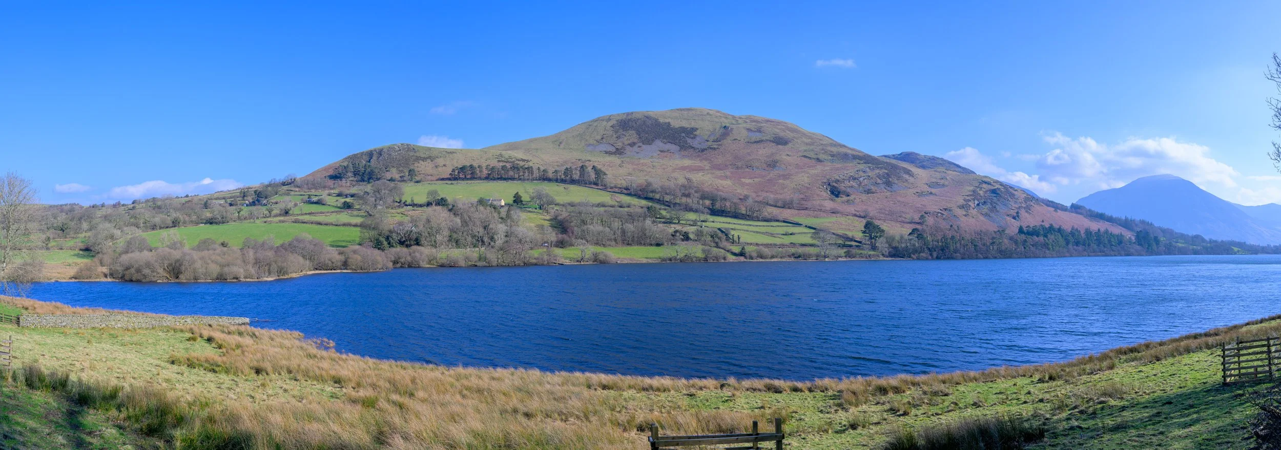
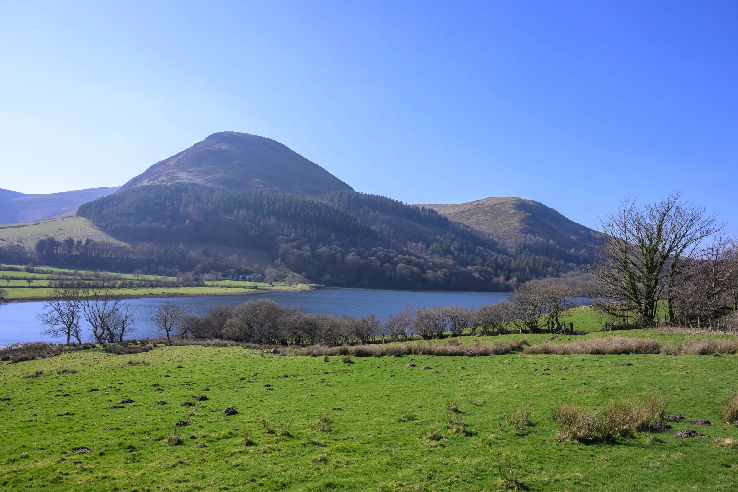
Looking across Loweswater towards the Fellbarrow range and Darling Fell.
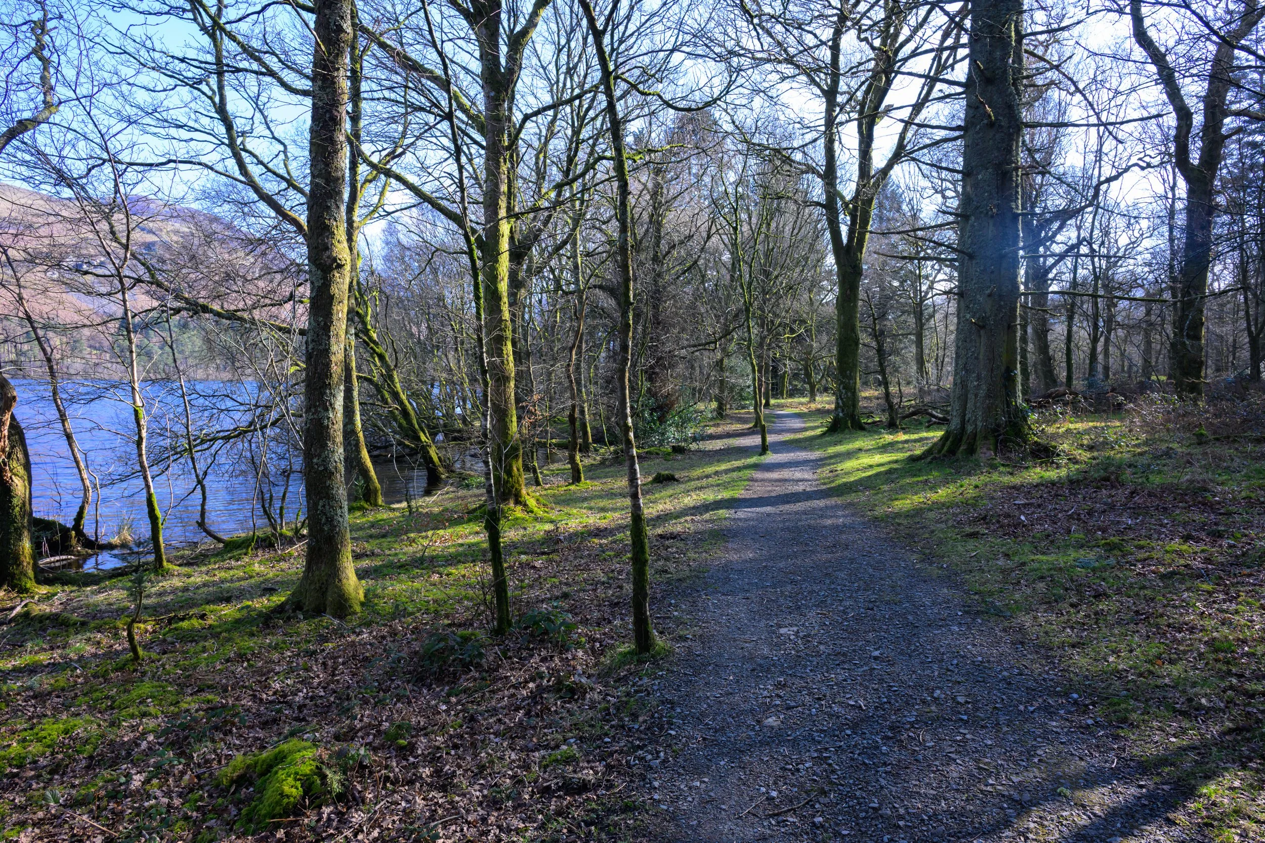
The path follows the lakeshore into Holme Wood and continues right along the shoreline providing many locations to view the lake. Continue along the path.
Continue along the lakeshore path . . .
. . . and through the gate into Holme Wood
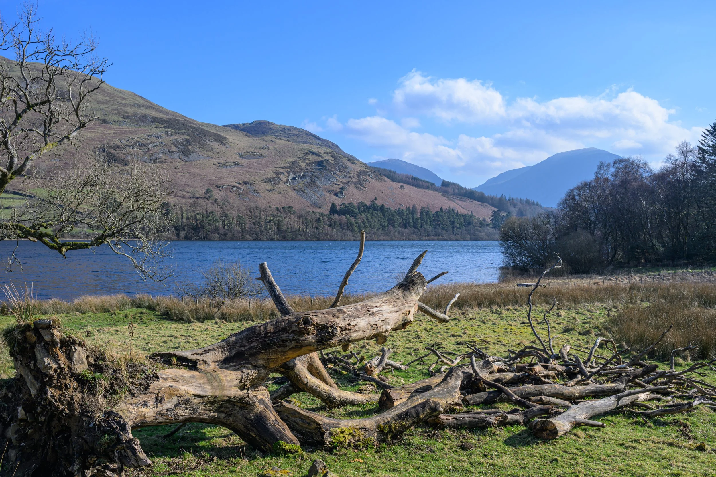
There are numerous gravel beaches offering stunning views along the lake.
Continue along the gravel path past the Goblin Tree and the National Trust Bothy. The Goblin Tree is often decorated with carvings and decorations, although on my visit it was looking quite sparse, with just the name plaque above the goblin’s door!
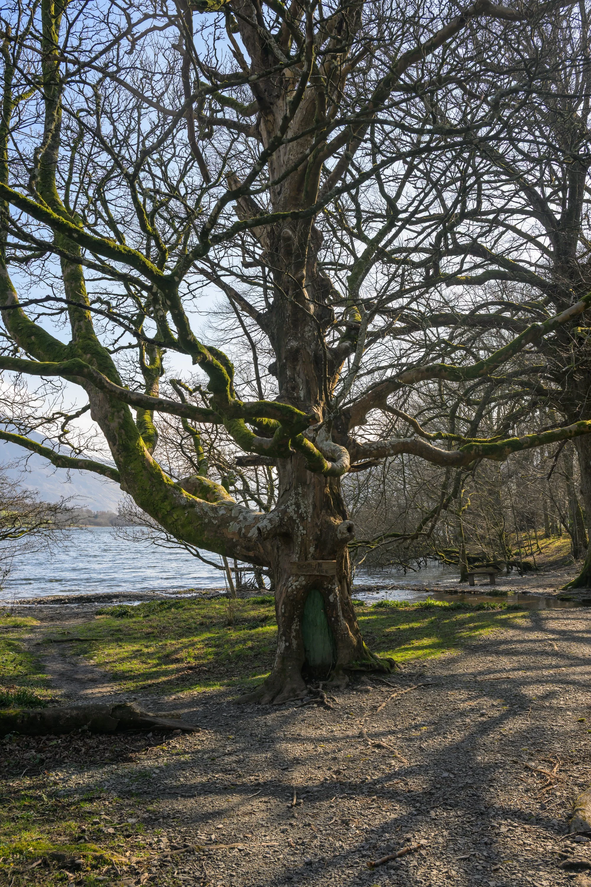
The Goblin Tree
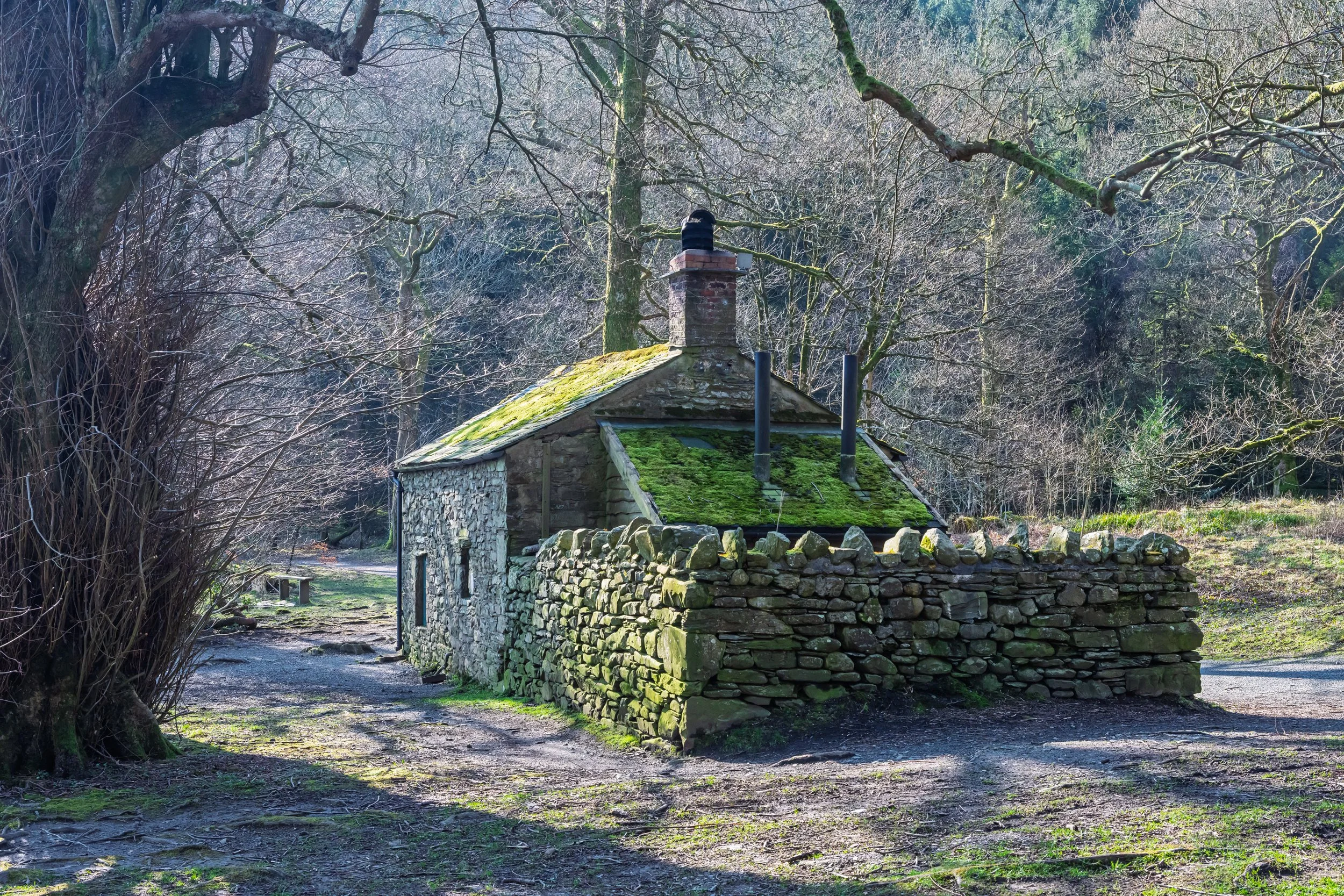
National Trust Holme Wood Bothy, available as basic accommodation within a few metres of the lake shore.
After the bothy the path continues along the track through the woods. This provides vehicle access to the bothy and is normally restricted to guests staying in the bothy and National Trust personnel, although on occasions I have been able to take the car along there.
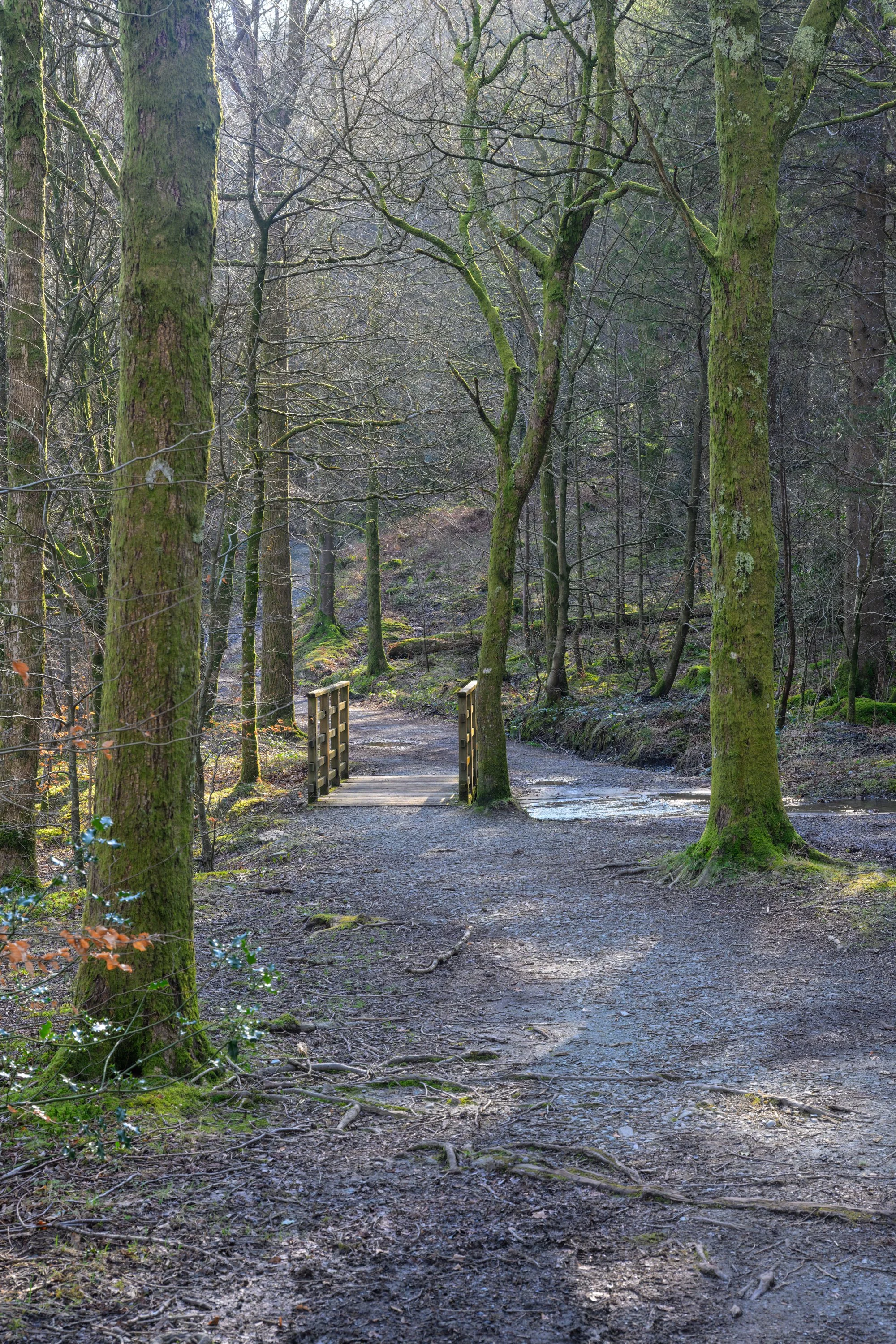
Continue past the bothy and over the wooden footbridge. There is a shallow ford just to the side of the footbridge allowing vehicles to access the bothy.
Carry on along the path through the woods
The path leaves Holme Wood providing open views back along the length of the lake
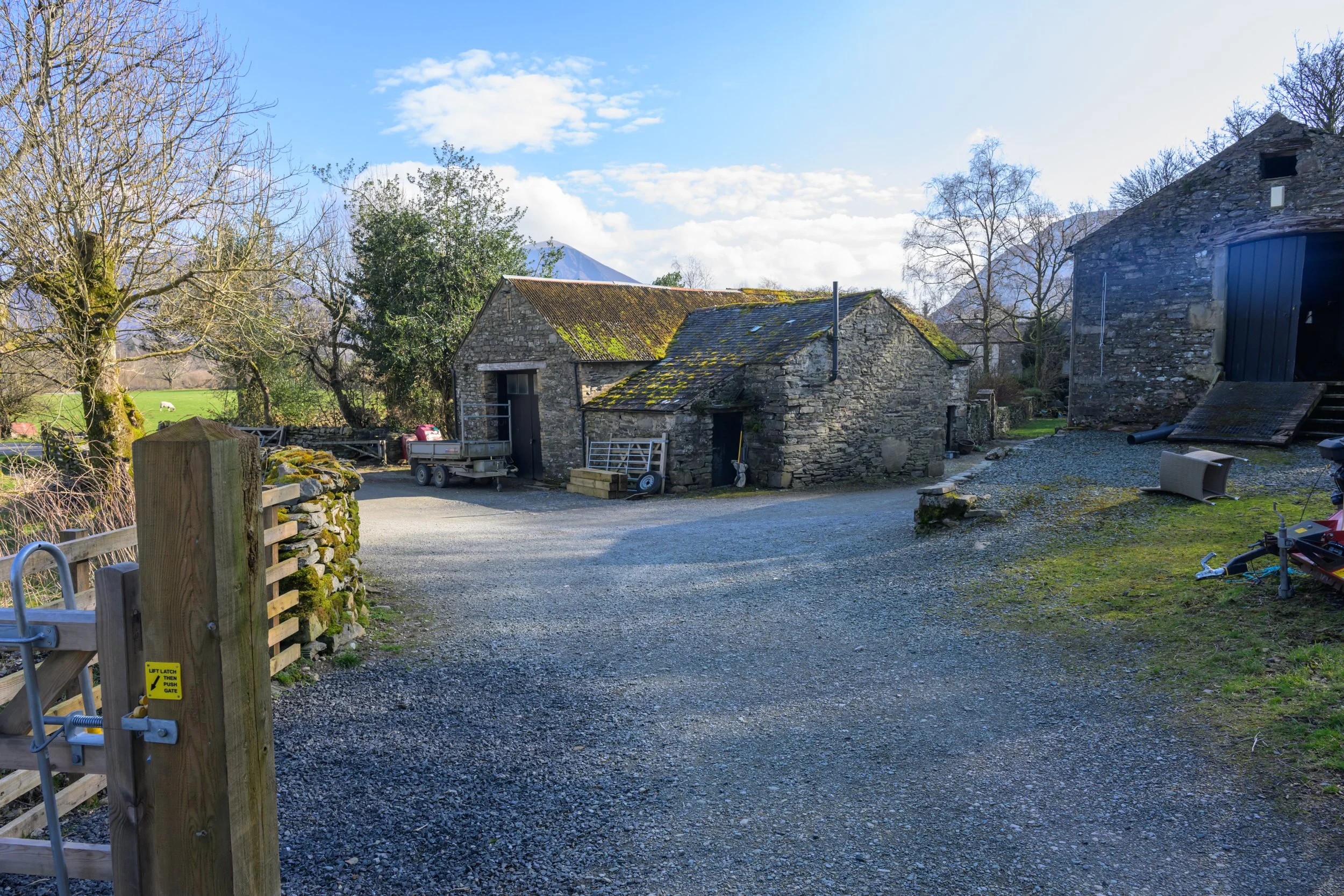
Pass through the gate and bear left at Watergate Farm
The view of the lake from Watergate Farm
After a short while you pass through a gate and arrive at Watergate Farm, a National Trust owned property providing holiday accommodation and also NT workshops for the rangers. Bear left past the farm buildings and continue along the gravel path through the open fields to the side of the lake. The path leads to Maggie’s Bridge car park.
The track from Watergate Farm
Follow the track across the fields…
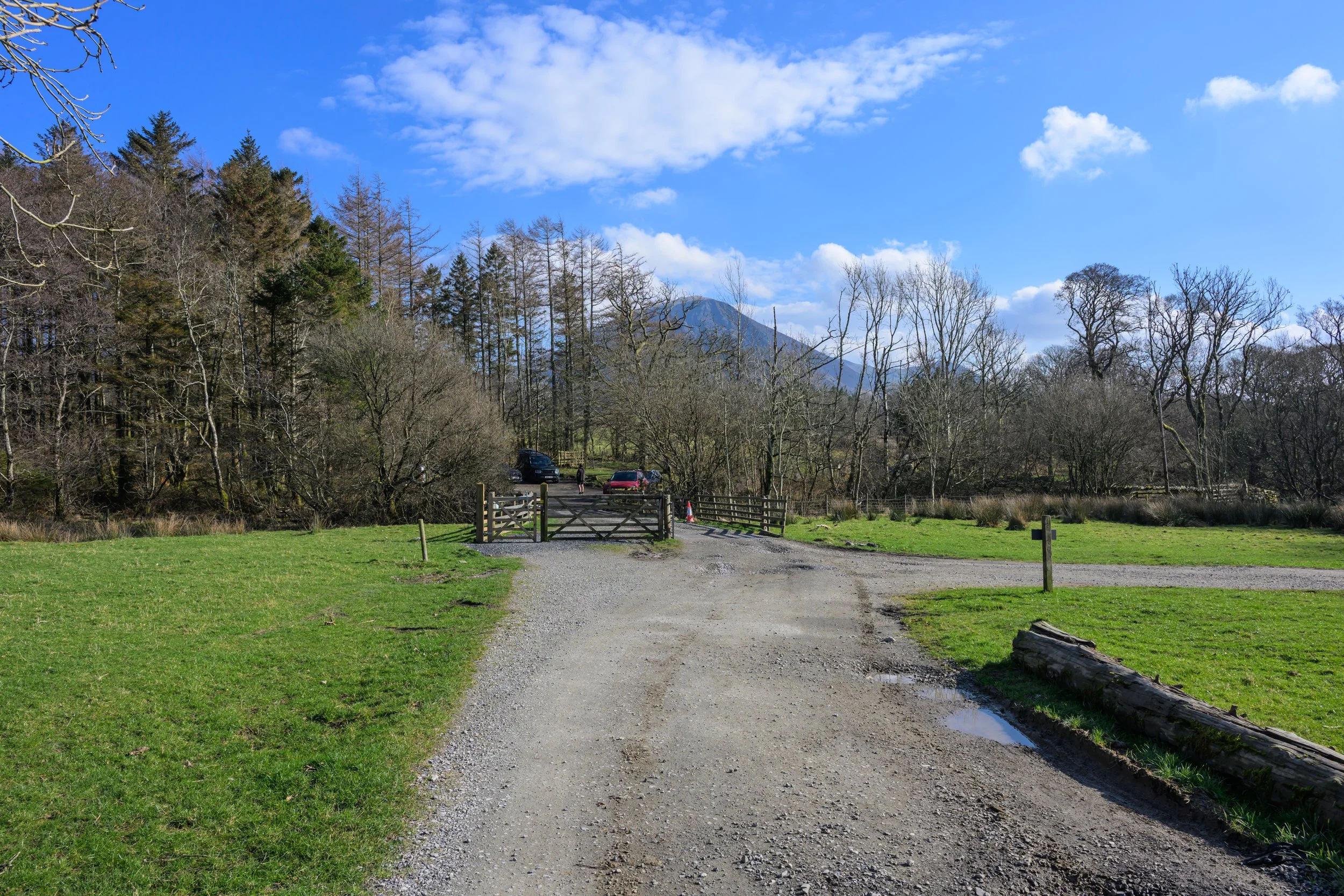
towards Maggie’s Bridge National Trust Car Park
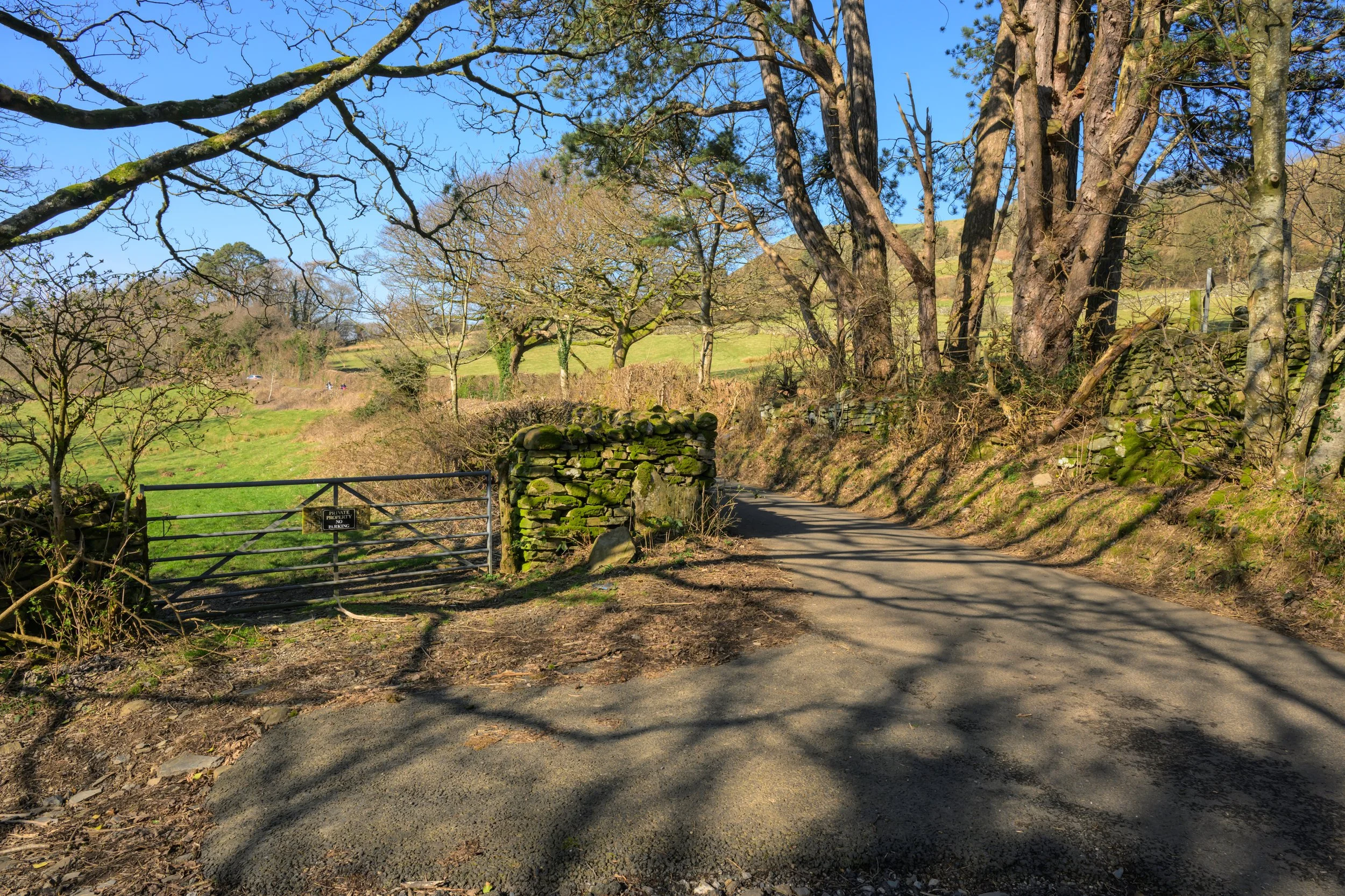
Continue on past the car park and up the narrow road towards the road. At the junction turn left to flow the road back towards the lake.
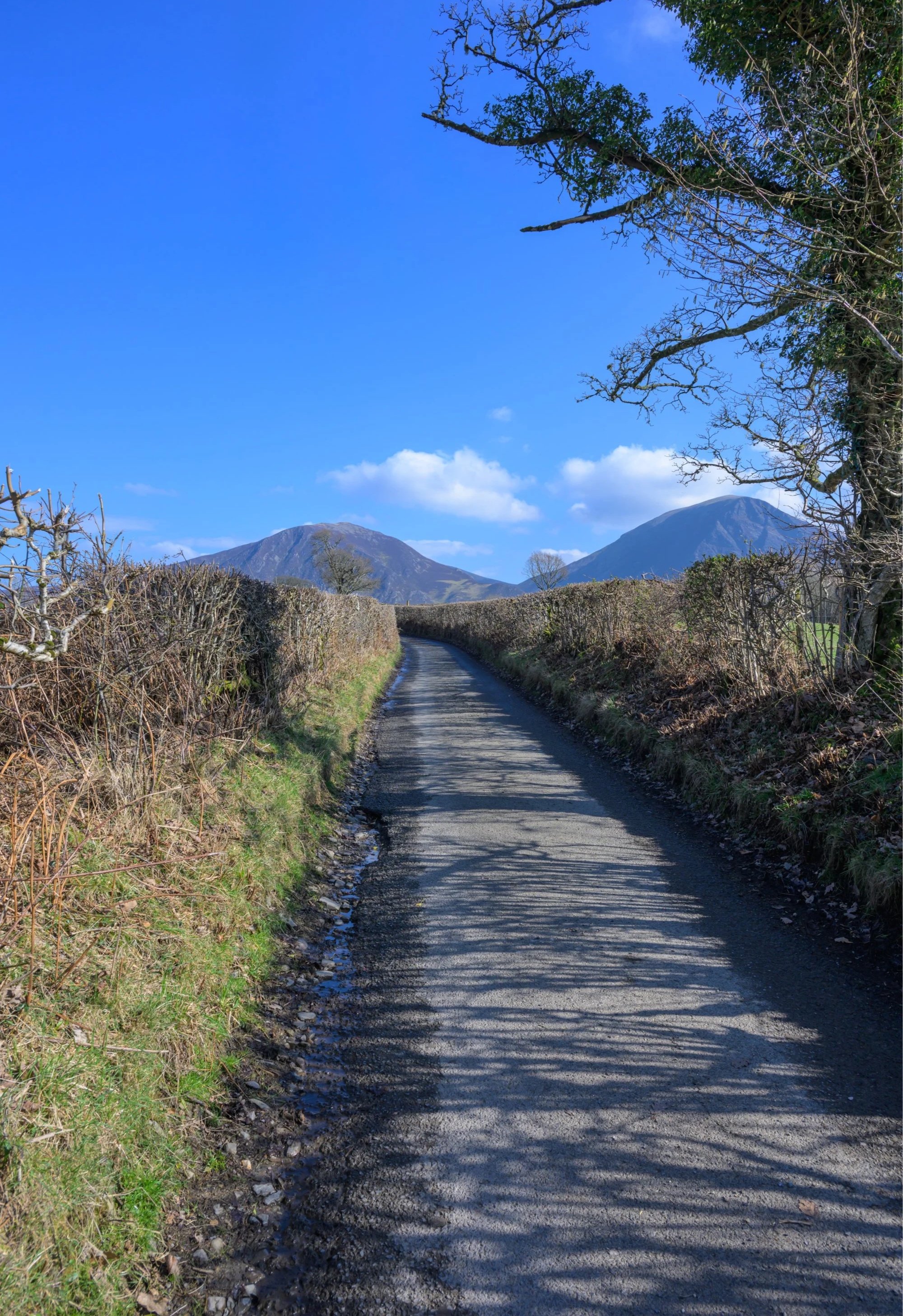
Follow the narrow road from Maggie’s Bridge back towards the road
Turn left and follow the road back towards the lake
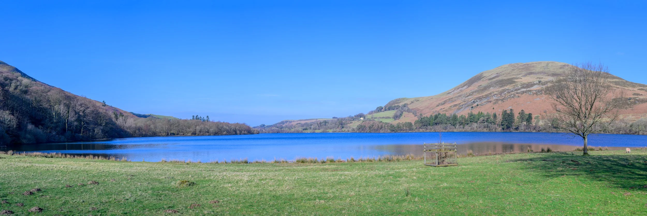
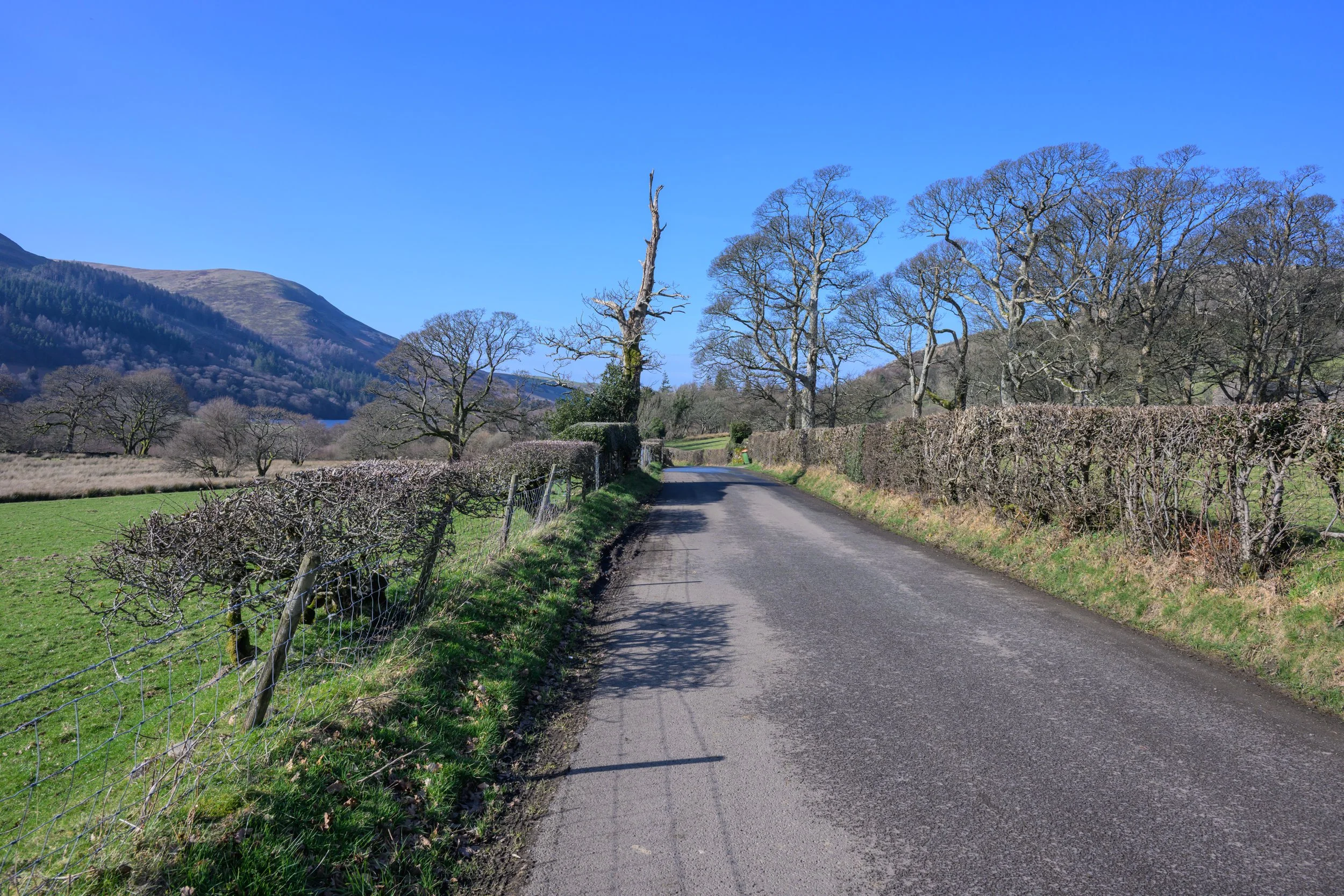
The lakeside road offers views across to Carling Knott and Burbank Fell
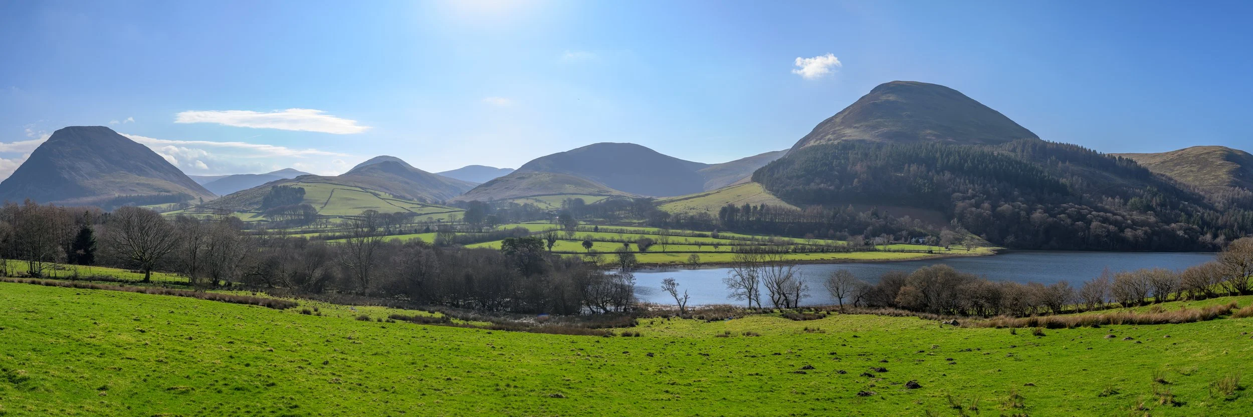
Panoramic view from the road showing (l-r) Mellbreak, Hen Comb, Little Dodd, Black Cragg, Carling Knott and Burbank Fell
Follow along the road for a short while past the houses and private property until you reach a path on the left down to the lakeshore. Take this path and follow the lakeshore until you reach the fenced off area.
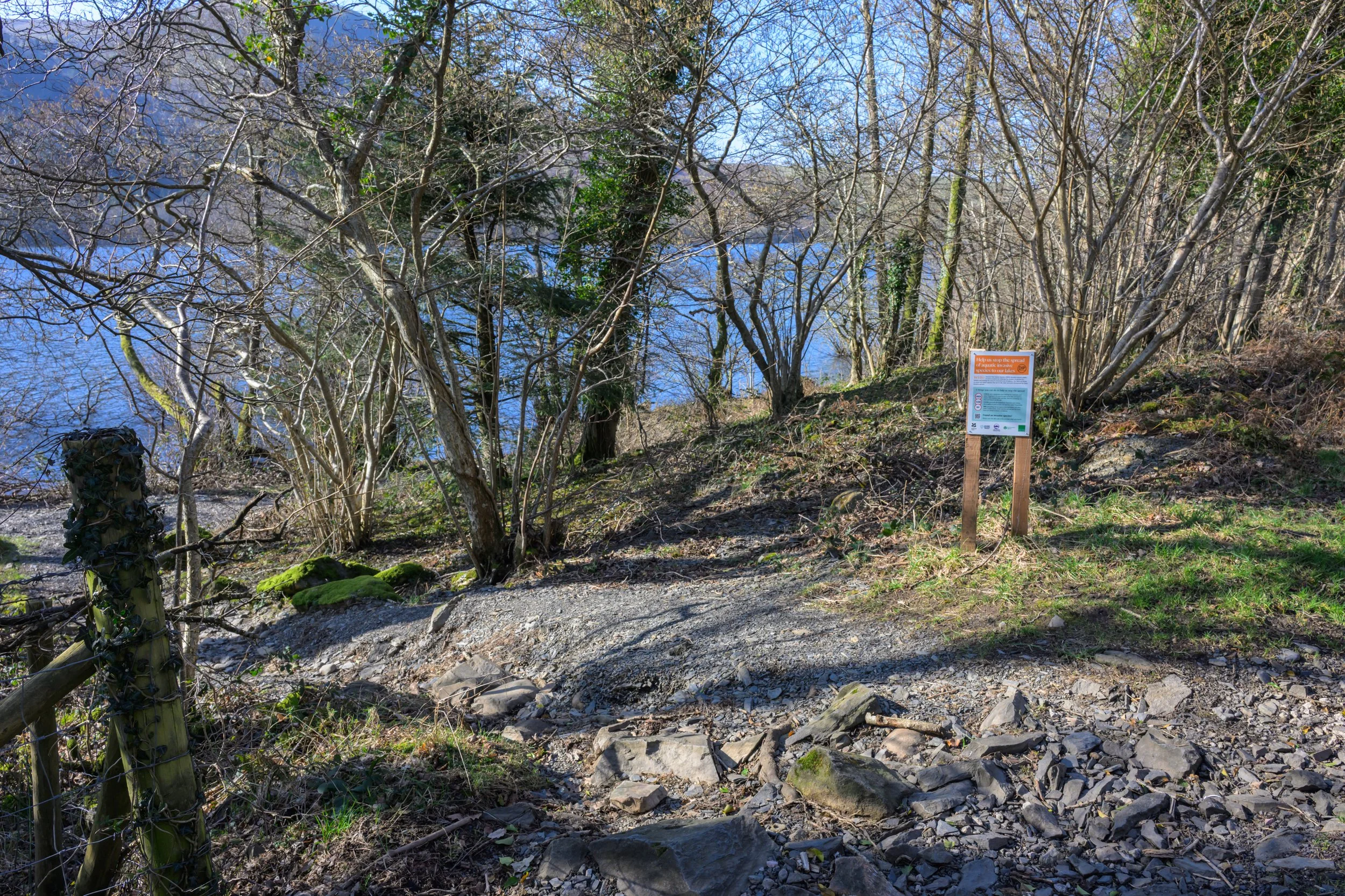
Take the path down to the lakeshore

Follow the path along the lake
There are plenty of places to stop and rest providing views across the lake.
At the end of the path you will reach a fenced off area marked as private property and with CCTV warnings. Follow the fence up the short hill back towards the road and turn left to continue along the lake.

At the end of the path bear right and up the hill towards the road
Turn left and follow the road along the lake
Getting There:
Loweswater is easily accessible from the west of the county. From the A5086 between Cockermouth and Egremont and follow the signs for Lamplugh Green, Loweswater and Buttermere (approx 9 miles north of Egremont/8 miles south of Cockermouth). Follow the road for about 2.5 miles, past the farm and take the sharp left hand bend by St Michael’s church, then the next left hand bend just before the white cottages. Follow the road for a short distance and turn right after the cottage, signposted for Loweswater. Follow the road for about 2 miles until you reach the farm and bear sharp right down Fang’s Brow, signposted for Loweswater. Follow the road past the cottages until you reach a lay-by on the right with a telephone box with defibrillator sign.
Waterend Lay-by: Grid Ref NY 122 222
Alternatively, continue along the road to find a suitable space along the lake or continue on past the lake to the right hand turning for Maggie’s Bridge National Trust Car Park
Maggie’s Bridge National Trust Car Park: Grid Ref NY 134 210